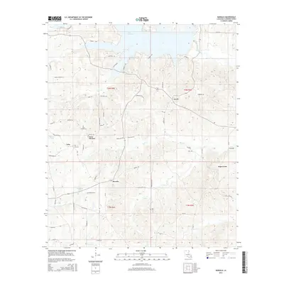
1986 Map of Arizona
USGS Topo · Published 1986About this map
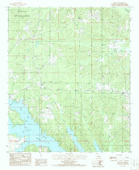
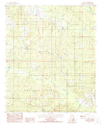
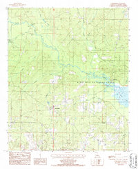
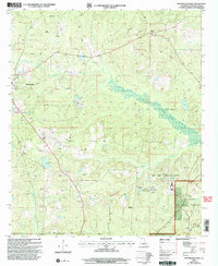
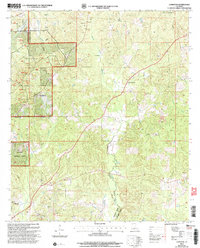
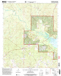
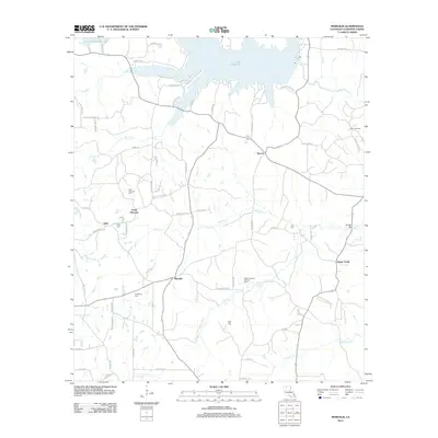
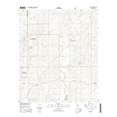
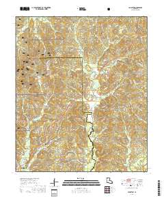
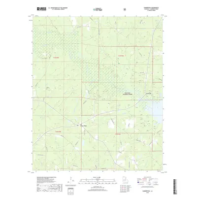
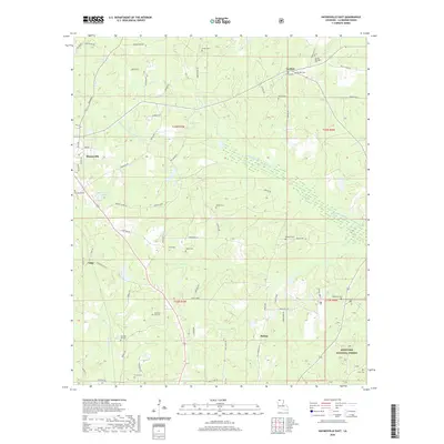
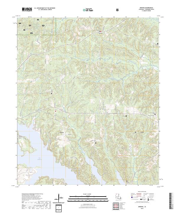
Arizona and Lisbon anchor this 1980s landscape in Claiborne Parish, where the northern timberlands meet the expanding waters of Lake Claiborne. The northern reaches of the map are defined by the Kisatchie National Forest, a terrain of managed woods and winding creek beds like M Fk Bayou D'Arbonne. This era shows a transition from rural crossroads to a recreational and residential area, evidenced by the development of a Trailer Park near the lake's northern inlets and the continued presence of a Gravel Pit. Local history is preserved in the placement of the Antioch Cem and the small settlement of Antioch, while the southern half of the sheet is dominated by the complex shoreline of the lake and its feeder streams, including Beaver Creek and Horse Creek.
Find a feature on this map
19 named features on this map. Tap any name to fly to it.
Don’t see what you’re looking for? This feature index may not catch every label — zoom into the map to look around manually.
Map Details
Editions of this 1986 Arizona Map
This is the sole edition of this map. No revisions or reprints were ever made.
Historical Maps of Lisbon Through Time
56 maps found
1939 Yokena
Claiborne Parish, LA
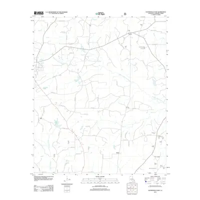
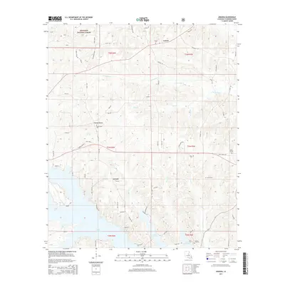
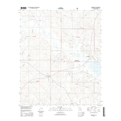
1951 Summerfield
Claiborne Parish, LA
1986 Arizona
Claiborne Parish, LA
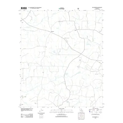
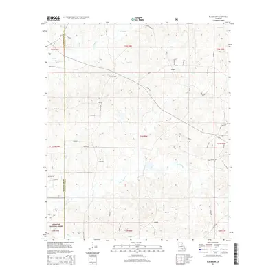
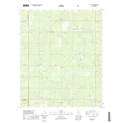
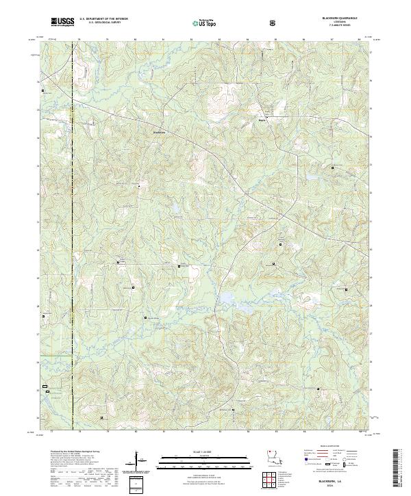
1986 Blackburn
Claiborne Parish, LA
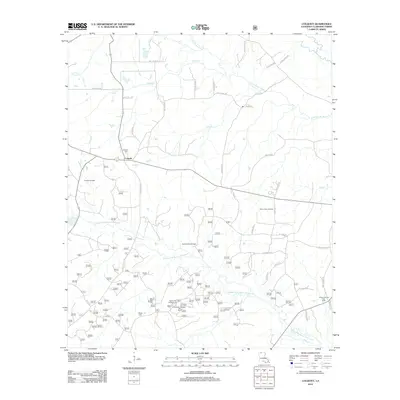
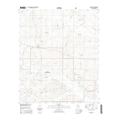
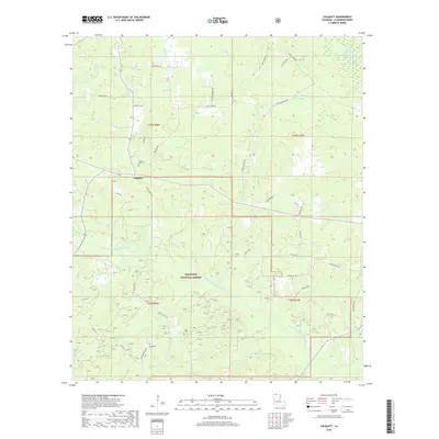
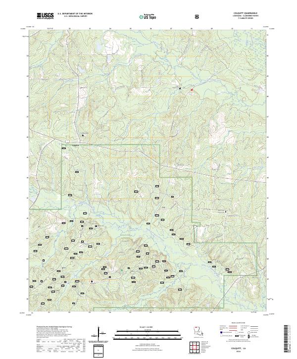
1986 Colquitt
Claiborne Parish, LA

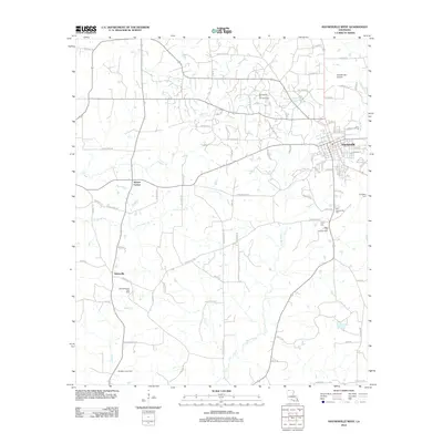
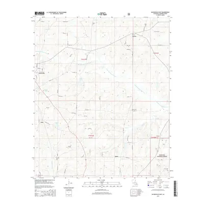
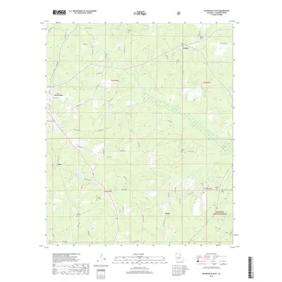
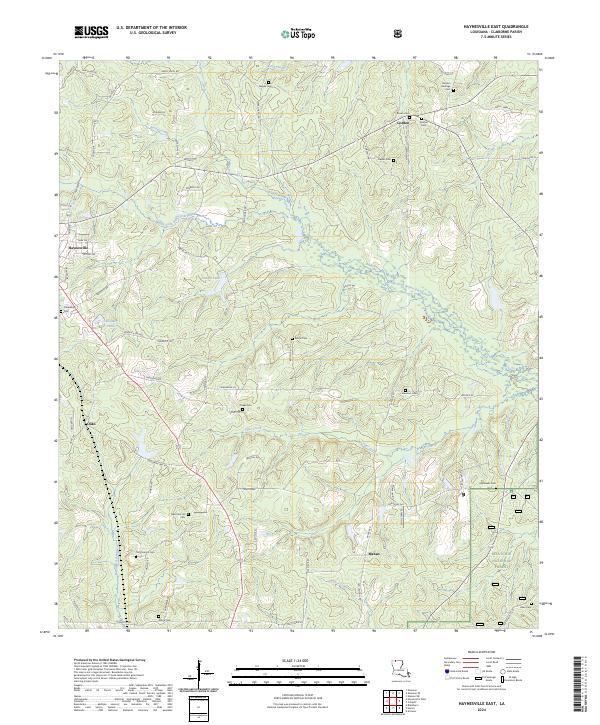
1986 Haynesville East
Claiborne Parish, LA
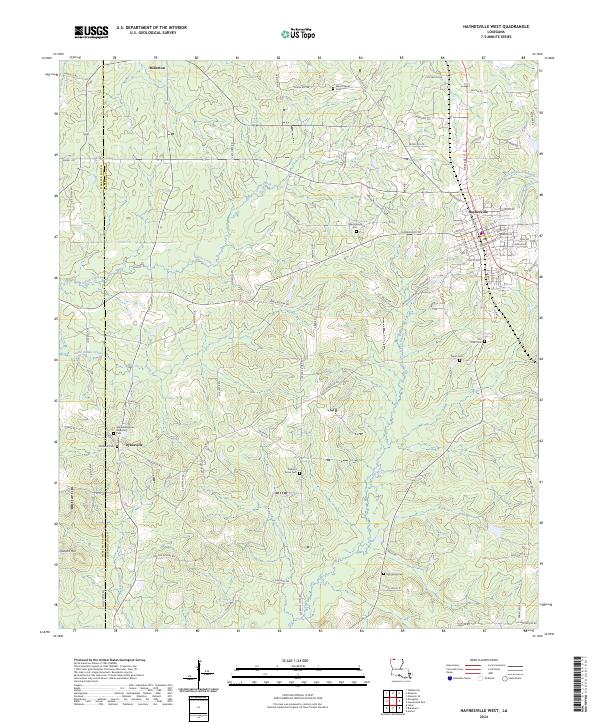
1986 Haynesville West
Claiborne Parish, LA
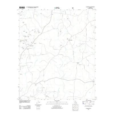
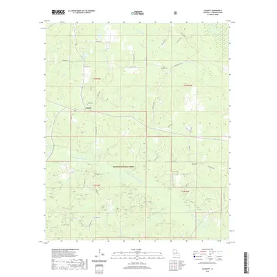
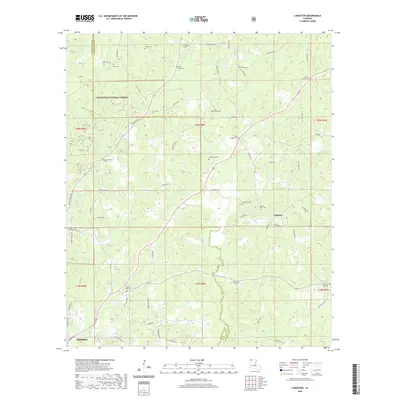
1986 Langston
Claiborne Parish, LA
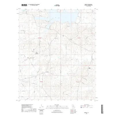
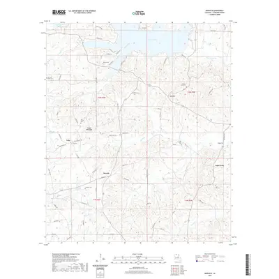
1986 Marsalis
Claiborne Parish, LA
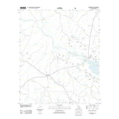
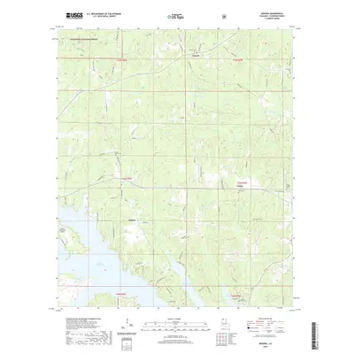
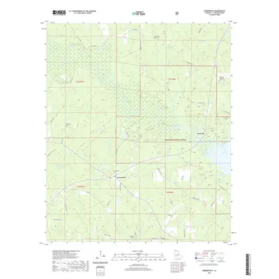
1986 Summerfield
Claiborne Parish, LA
2003 Arizona
Claiborne Parish, LA
2003 Blackburn
Claiborne Parish, LA
2003 Colquitt
Claiborne Parish, LA
2003 Haynesville East
Claiborne Parish, LA
2003 Langston
Claiborne Parish, LA
2003 Summerfield
Claiborne Parish, LA
2012 Arizona
Claiborne Parish, LA
2012 Blackburn
Claiborne Parish, LA
2012 Colquitt
Claiborne Parish, LA
2012 Haynesville East
Claiborne Parish, LA
2012 Haynesville West
Claiborne Parish, LA
2012 Langston
Claiborne Parish, LA
2012 Marsalis
Claiborne Parish, LA
2012 Summerfield
Claiborne Parish, LA
2015 Arizona
Claiborne Parish, LA
2015 Blackburn
Claiborne Parish, LA
2015 Colquitt
Claiborne Parish, LA
2015 Haynesville East
Claiborne Parish, LA

2015 Haynesville West
Claiborne Parish, LA
2015 Langston
Claiborne Parish, LA
2015 Marsalis
Claiborne Parish, LA
2015 Summerfield
Claiborne Parish, LA
2018 Arizona
Claiborne Parish, LA
2018 Blackburn
Claiborne Parish, LA
2018 Colquitt
Claiborne Parish, LA
2018 Haynesville East
Claiborne Parish, LA

2018 Haynesville West
Claiborne Parish, LA
2018 Langston
Claiborne Parish, LA
2018 Marsalis
Claiborne Parish, LA
2018 Summerfield
Claiborne Parish, LA
2020 Arizona
Claiborne Parish, LA
2020 Blackburn
Claiborne Parish, LA
2020 Colquitt
Claiborne Parish, LA
2020 Haynesville East
Claiborne Parish, LA

2020 Haynesville West
Claiborne Parish, LA
2020 Langston
Claiborne Parish, LA
2020 Marsalis
Claiborne Parish, LA
2020 Summerfield
Claiborne Parish, LA
2024 Arizona
Claiborne Parish, LA
2024 Blackburn
Claiborne Parish, LA
2024 Colquitt
Claiborne Parish, LA
2024 Haynesville East
Claiborne Parish, LA
2024 Haynesville West
Claiborne Parish, LA
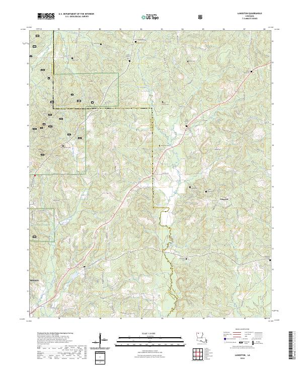
2024 Langston
Claiborne Parish, LA
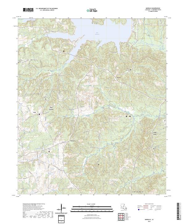
2024 Marsalis
Claiborne Parish, LA
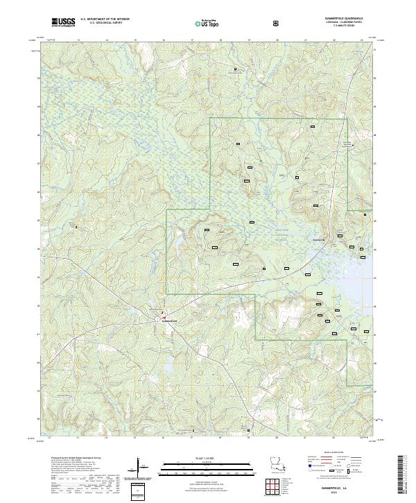
2024 Summerfield
Claiborne Parish, LA