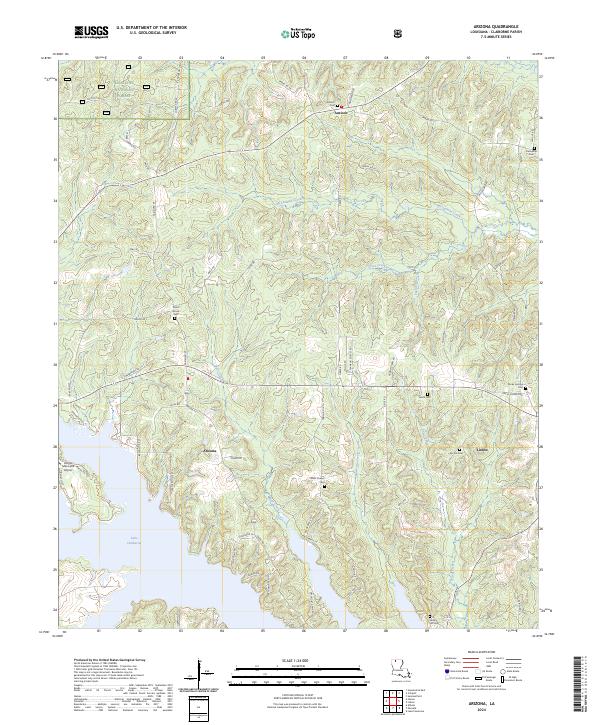
2003 Map of Arizona
USGS Topo · Published 2005About this map
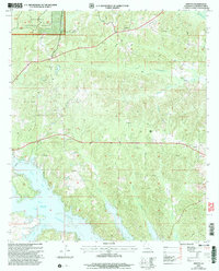
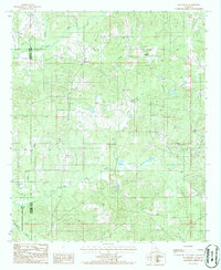
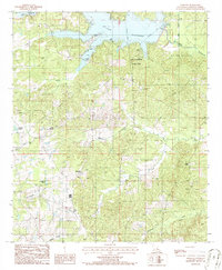
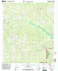
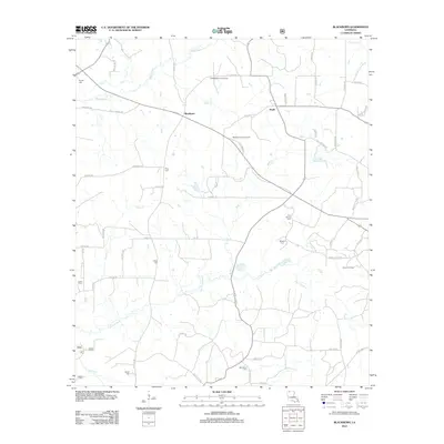
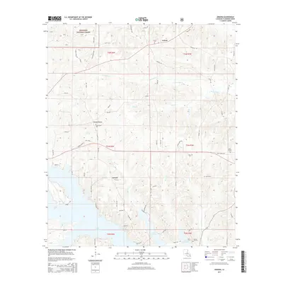
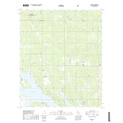
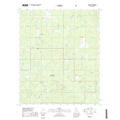
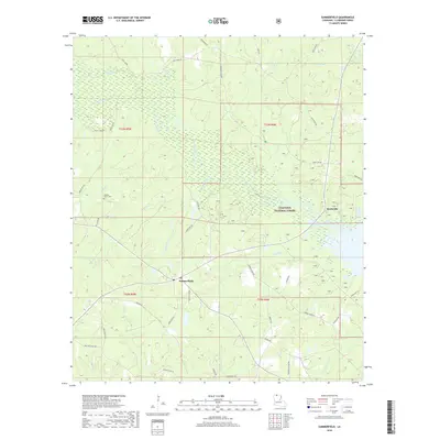
Lake Claiborne dominates the southern landscape of this Claiborne Parish survey, where the waters of Beaver Creek and Allen Creek meet. The terrain is defined by a dense network of waterways including the Middle Fork Bayou D'Arbonne and McCasland Creek, carving through the timberlands of the Kisatchie National Forest. This era shows a rural economy supported by energy extraction, evidenced by an extensive Oil Field and numerous pipelines traversing the hills near the small settlements of Arizona and Lisbon.
Find a feature on this map
23 named features on this map. Tap any name to fly to it.
Don’t see what you’re looking for? This feature index may not catch every label — zoom into the map to look around manually.
Map Details
Editions of this 2003 Arizona Map
This is the sole edition of this map. No revisions or reprints were ever made.
Historical Maps of Lisbon Through Time
56 maps found
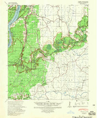
1939 Yokena
Claiborne Parish, LA
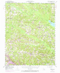
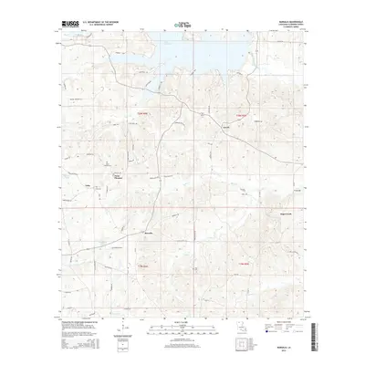
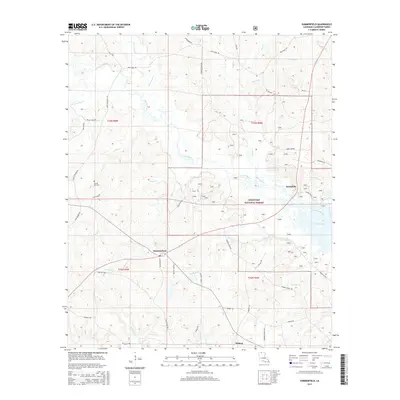
1951 Summerfield
Claiborne Parish, LA
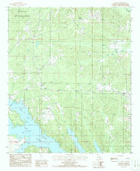
1986 Arizona
Claiborne Parish, LA
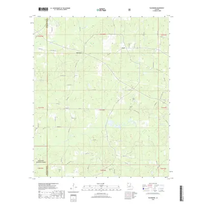
1986 Blackburn
Claiborne Parish, LA
1986 Colquitt
Claiborne Parish, LA

1986 Haynesville East
Claiborne Parish, LA
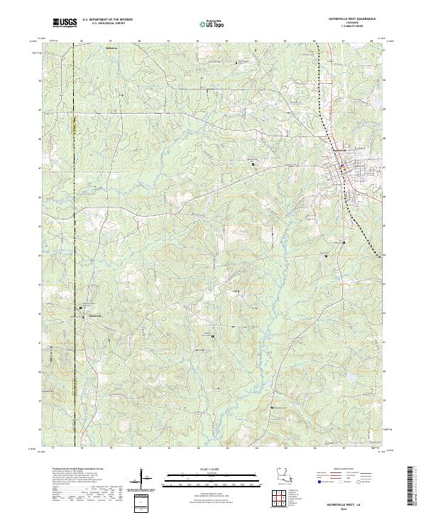
1986 Haynesville West
Claiborne Parish, LA
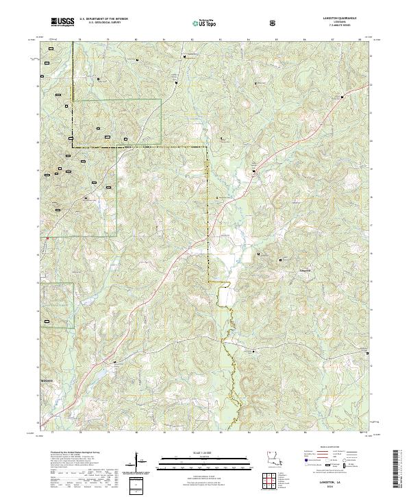
1986 Langston
Claiborne Parish, LA
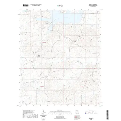
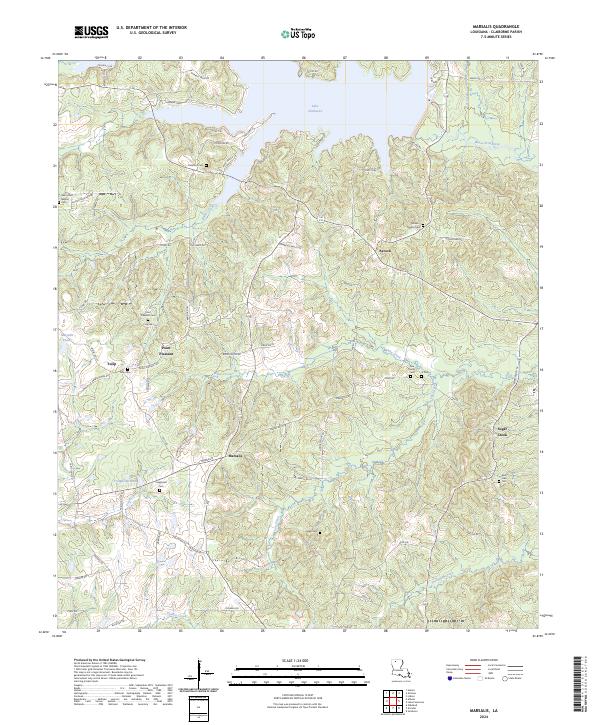
1986 Marsalis
Claiborne Parish, LA
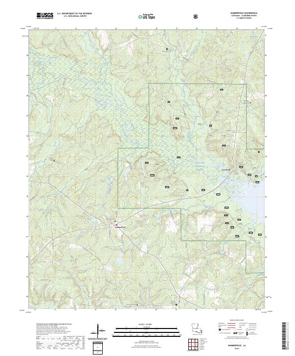
1986 Summerfield
Claiborne Parish, LA
2003 Arizona
Claiborne Parish, LA
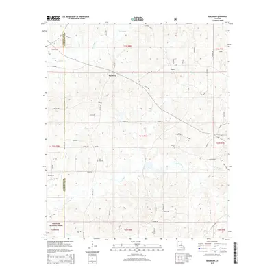
2003 Blackburn
Claiborne Parish, LA
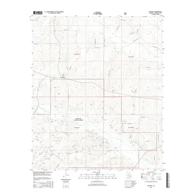
2003 Colquitt
Claiborne Parish, LA
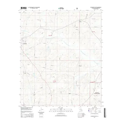
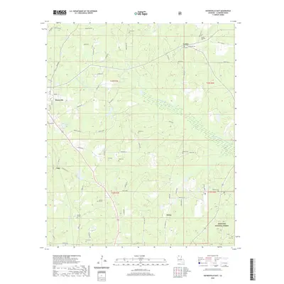
2003 Haynesville East
Claiborne Parish, LA
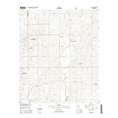
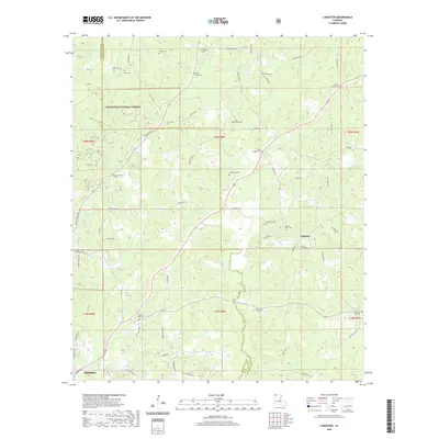
2003 Langston
Claiborne Parish, LA
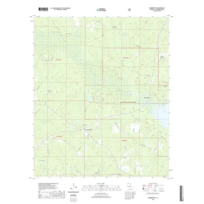
2003 Summerfield
Claiborne Parish, LA
2012 Arizona
Claiborne Parish, LA
2012 Blackburn
Claiborne Parish, LA
2012 Colquitt
Claiborne Parish, LA
2012 Haynesville East
Claiborne Parish, LA
2012 Haynesville West
Claiborne Parish, LA
2012 Langston
Claiborne Parish, LA
2012 Marsalis
Claiborne Parish, LA
2012 Summerfield
Claiborne Parish, LA
2015 Arizona
Claiborne Parish, LA
2015 Blackburn
Claiborne Parish, LA
2015 Colquitt
Claiborne Parish, LA
2015 Haynesville East
Claiborne Parish, LA

2015 Haynesville West
Claiborne Parish, LA
2015 Langston
Claiborne Parish, LA
2015 Marsalis
Claiborne Parish, LA
2015 Summerfield
Claiborne Parish, LA
2018 Arizona
Claiborne Parish, LA
2018 Blackburn
Claiborne Parish, LA
2018 Colquitt
Claiborne Parish, LA
2018 Haynesville East
Claiborne Parish, LA

2018 Haynesville West
Claiborne Parish, LA
2018 Langston
Claiborne Parish, LA
2018 Marsalis
Claiborne Parish, LA
2018 Summerfield
Claiborne Parish, LA
2020 Arizona
Claiborne Parish, LA
2020 Blackburn
Claiborne Parish, LA
2020 Colquitt
Claiborne Parish, LA
2020 Haynesville East
Claiborne Parish, LA

2020 Haynesville West
Claiborne Parish, LA
2020 Langston
Claiborne Parish, LA
2020 Marsalis
Claiborne Parish, LA
2020 Summerfield
Claiborne Parish, LA
2024 Arizona
Claiborne Parish, LA
2024 Blackburn
Claiborne Parish, LA
2024 Colquitt
Claiborne Parish, LA
2024 Haynesville East
Claiborne Parish, LA
2024 Haynesville West
Claiborne Parish, LA
2024 Langston
Claiborne Parish, LA
2024 Marsalis
Claiborne Parish, LA
2024 Summerfield
Claiborne Parish, LA