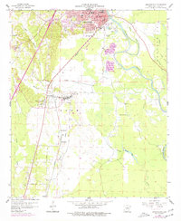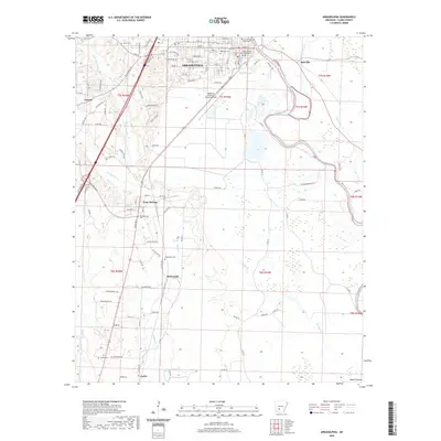
1986 Map of Arkadelphia
USGS Topo · Published 1986About this map
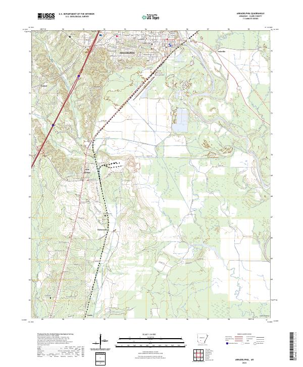
The Ouachita Mountains dominate this 1986 survey of southwest Arkansas, a region defined by its timbered ridges and expansive water systems. The map details the emergence of significant recreation and resource areas, including the Crater of Diamonds State Park near Murfreesboro and the large expanse of De Gray Lake. Transportation in the mid-1980s is anchored by the Missouri Pacific railroad line and a network of state highways connecting timber towns like Glenwood and Amity. Local history is preserved through numerous rural landmarks such as the Sunshine Sch, Hempwallace Ch, and several family cemeteries like Hollywood Cem and Okolona Cem. The terrain varies from the Cossatot Mountains in the west to the valley of the Ouachita River, reflecting a landscape heavily influenced by both the Ouachita National Forest and the development of major reservoirs like Lake Hamilton.
Find a feature on this map
238 named features on this map. Tap any name to fly to it.
Don’t see what you’re looking for? This feature index may not catch every label — zoom into the map to look around manually.
Map Details
Editions of this 1986 Arkadelphia Map
2 editions found
Historical Maps of Hot Springs Through Time
7 maps found