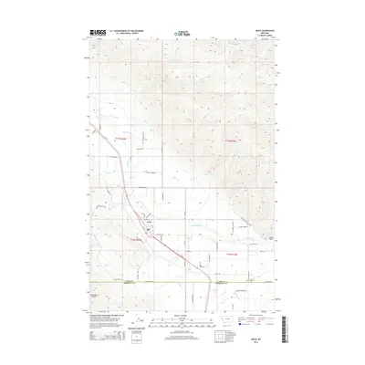
2014 Map of Arlee
USGS Topo · Published 2014About this map
The settlement of Arlee sits at the heart of the Jocko Valley, where the waters of the Jocko River meet mountain-fed tributaries. This modern survey illustrates a landscape defined by its hydraulic infrastructure and family-named rural routes, showing the intricate network of the K Canal and E Canal used to manage water across the valley floor. To the south, the Lake Co Missoula Co boundary line crosses the Reservation Divide, a prominent ridge that separates these northern valleys from the Missoula area.
Find a feature on this map
61 named features on this map. Tap any name to fly to it.
Don’t see what you’re looking for? This feature index may not catch every label — zoom into the map to look around manually.
Map Details
Editions of this 2014 Arlee Map
This is the sole edition of this map. No revisions or reprints were ever made.
Other maps of this area

1921 · Elbow Lake
USGS Topo · 1:125,000

1955 · Choteau
USGS Topo · 1:250,000

1956 · Wallace
USGS Topo · 1:250,000

1957 · Choteau
USGS Topo · 1:250,000

1958 · Choteau
USGS Topo · 1:250,000

1959 · Arlee
USGS Topo · 1:62,500

1960 · Wallace
USGS Topo · 1:250,000

1962 · Choteau
USGS Topo · 1:250,000

1964 · Saint Ignatius
USGS Topo · 1:24,000

1964 · Ravalli
USGS Topo · 1:24,000