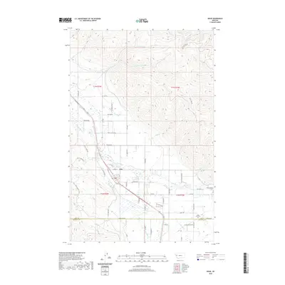
2020 Map of Arlee
USGS Topo · Published 2020About this map
Arlee serves as the primary hub in this Montana valley, situated where the Jocko River and Finley Cr converge. The landscape is defined by a complex irrigation network, including the K Canal and E Canal, supporting local agriculture in the shadows of the surrounding high country. To the north and west, the terrain rises sharply, drained by numerous seasonal and perennial flows such as Lamoose Cr and Spring Cr.
Find a feature on this map
63 named features on this map. Tap any name to fly to it.
Don’t see what you’re looking for? This feature index may not catch every label — zoom into the map to look around manually.
Map Details
Editions of this 2020 Arlee Map
This is the sole edition of this map. No revisions or reprints were ever made.
Other maps of this area
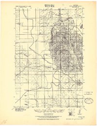
1921 · Elbow Lake
USGS Topo · 1:125,000
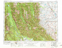
1955 · Choteau
USGS Topo · 1:250,000
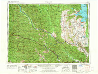
1956 · Wallace
USGS Topo · 1:250,000
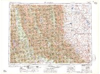
1957 · Choteau
USGS Topo · 1:250,000
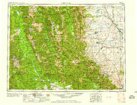
1958 · Choteau
USGS Topo · 1:250,000
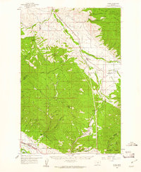
1959 · Arlee
USGS Topo · 1:62,500
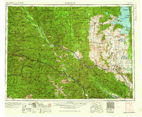
1960 · Wallace
USGS Topo · 1:250,000
1962 · Choteau
USGS Topo · 1:250,000
1964 · Saint Ignatius
USGS Topo · 1:24,000
1964 · Ravalli
USGS Topo · 1:24,000