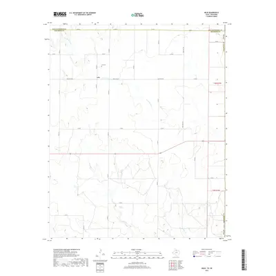
2019 Map of Arlie
USGS Topo · Published 2019About this map
Arlie sits at the intersection of a rural road network in Childress County, serving as the primary landmark in this agricultural landscape near the Oklahoma border. The community center is anchored by the Arlie Cem, providing a focal point for genealogical research in this sparsely populated region. The terrain is defined by the drainage systems of the W Fork Sandy Cr and the intermittent flow of Settlers Cr, which originates near the distinctive Settlers Springs. These water sources historically dictated the placement of ranching operations and roads like Ranch Rd 1034. The survey also captures the southern reaches of the area where Soldiers Cr and Buck Cr carve through the land, illustrating the persistent reliance on natural geography in the Texas Panhandle.
Find a feature on this map
20 named features on this map. Tap any name to fly to it.
Don’t see what you’re looking for? This feature index may not catch every label — zoom into the map to look around manually.
Map Details
Editions of this 2019 Arlie Map
This is the sole edition of this map. No revisions or reprints were ever made.
Other maps of this area

1954 · Plainview
USGS Topo · 1:250,000

1955 · Lawton
USGS Topo · 1:250,000

1958 · Plainview
USGS Topo · 1:250,000

1960 · Loco
USGS Topo · 1:62,500

1961 · Hollis
USGS Topo · 1:62,500

1964 · Wellington
USGS Topo · 1:24,000

1964 · Dodson
USGS Topo · 1:24,000
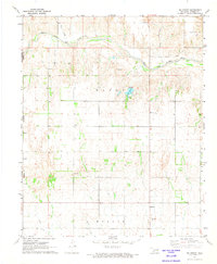
1971 · Mc Knight
USGS Topo · 1:24,000
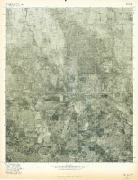
1975 · Hollis NW
USGS Topo · 1:24,000
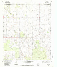
1984 · Arlie
USGS Topo · 1:24,000