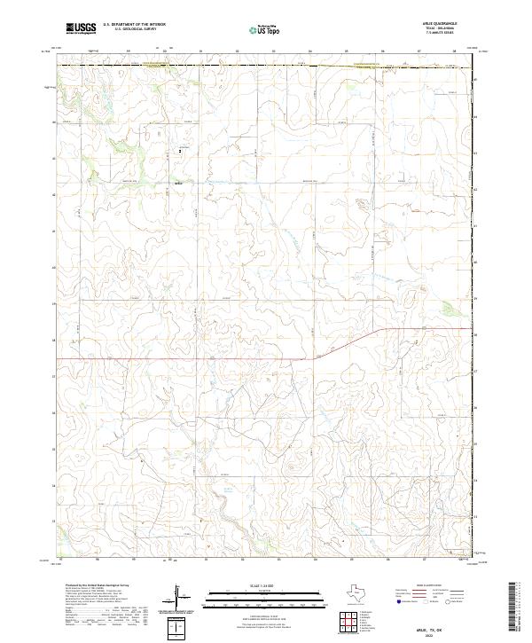
2022 Map of Arlie
USGS Topo · Published 2022About this map
The settlement of Arlie serves as the focal point for this rural stretch along the Texas Panhandle, positioned near the divide between Collingsworth and Childress counties. The landscape is defined by the dendritic drainage patterns of several tributaries, including W Fork Sandy Cr, Settlers Cr, and Soldiers Cr, which cut through the open country. A key water source for the early ranching economy of the region is noted at Settlers Springs, situated in the southern portion of the quadrangle.
Find a feature on this map
21 named features on this map. Tap any name to fly to it.
Don’t see what you’re looking for? This feature index may not catch every label — zoom into the map to look around manually.
Map Details
Editions of this 2022 Arlie Map
This is the sole edition of this map. No revisions or reprints were ever made.
Other maps of this area

1954 · Plainview
USGS Topo · 1:250,000

1955 · Lawton
USGS Topo · 1:250,000

1958 · Plainview
USGS Topo · 1:250,000

1960 · Loco
USGS Topo · 1:62,500

1961 · Hollis
USGS Topo · 1:62,500

1964 · Wellington
USGS Topo · 1:24,000

1964 · Dodson
USGS Topo · 1:24,000
1971 · Mc Knight
USGS Topo · 1:24,000
1975 · Hollis NW
USGS Topo · 1:24,000
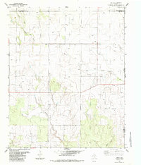
1984 · Arlie
USGS Topo · 1:24,000