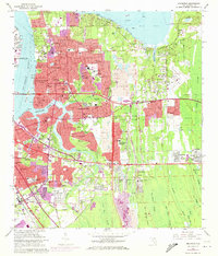
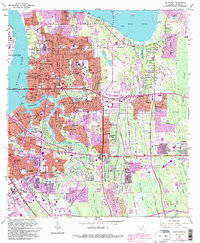
1963 Map of Arlington
USGS Topo · Published 1972About this map
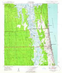
Jacksonville University and the surrounding suburban developments of Arlington dominate the eastern bank of the St Johns River in this early 1960s survey. The landscape is a mix of established neighborhoods like Floral Bluff and Eggleston Heights, and emerging residential zones such as Southside Estates and Oakwood Villa. The arrival of the Mathews Bridge transformed this area into a major suburb, yet pockets of industrial activity persist, notably the large Strip Mine operations scattered between Mill Cove and Pottsburg Creek.
Find a feature on this map
121 named features on this map. Tap any name to fly to it.
Don’t see what you’re looking for? This feature index may not catch every label — zoom into the map to look around manually.
Map Details
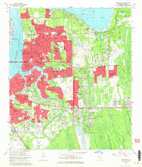
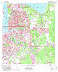
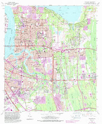
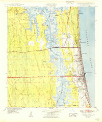
Editions of this 1963 Arlington Map
6 editions found
Other maps of this area

1917 · Orange Park
USGS Topo · 1:62,500

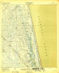
1918 · Jacksonville
USGS Topo · 1:62,500

1918 · Orange Park
USGS Topo · 1:62,500
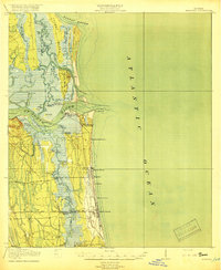
1918 · Palm Valley
USGS Topo · 1:62,500
1918 · Mayport
USGS Topo · 1:62,500

1948 · Jacksonville
USGS Topo · 1:250,000
1948 · Jacksonville Beach
USGS Topo · 1:24,000

1948 · Eastport
USGS Topo · 1:24,000
1949 · Jacksonville Beach
USGS Topo · 1:24,000
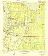
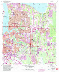
1950 · Arlington
USGS Topo · 1:24,000
Featured Places
- Jacksonville, FL
- Holiday Hill, Jacksonville
- Newcastle, Jacksonville
- Hogan, Jacksonville
- Bridgewater, Jacksonville