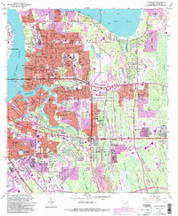
1963 Map of Arlington
USGS Topo · Published 1992About this map
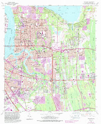
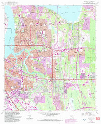
St Johns River and Mill Cove define the western and northern edges of this mid-century portrait of suburban growth in Duval County. The landscape is a transition between the established riverfront communities like Floral Bluff and the expanding residential tracts of Eggleston Heights and Southside Estates. Infrastructure for a growing city is evident, from the Mathews Bridge connecting the area to the urban core to the Craig Municipal Airport and numerous radio towers.
Find a feature on this map
127 named features on this map. Tap any name to fly to it.
Don’t see what you’re looking for? This feature index may not catch every label — zoom into the map to look around manually.
Map Details
Editions of this 1963 Arlington Map
6 editions found
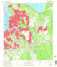
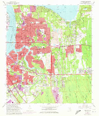
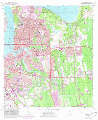
Other maps of this area

1917 · Orange Park
USGS Topo · 1:62,500

1918 · Jacksonville
USGS Topo · 1:62,500

1918 · Orange Park
USGS Topo · 1:62,500

1918 · Palm Valley
USGS Topo · 1:62,500

1918 · Mayport
USGS Topo · 1:62,500

1948 · Jacksonville
USGS Topo · 1:250,000

1948 · Jacksonville Beach
USGS Topo · 1:24,000

1948 · Eastport
USGS Topo · 1:24,000

1949 · Jacksonville Beach
USGS Topo · 1:24,000

1950 · Arlington
USGS Topo · 1:24,000
Featured Places
- Jacksonville, FL
- Holiday Hill, Jacksonville
- Newcastle, Jacksonville
- Hogan, Jacksonville
- Bridgewater, Jacksonville