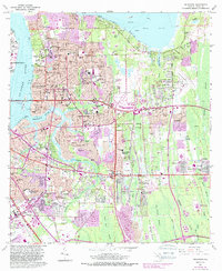
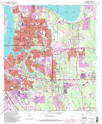
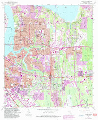
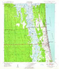
1963 Map of Arlington
USGS Topo · Published 1988This historical map portrays the area of Arlington in 1963, primarily covering Jacksonville as well as portions of Holiday Hill, Newcastle, and Hogan. Featuring a scale of 1:24,000, this map provides a highly detailed snapshot of the terrain, roads, buildings, counties, and historical landmarks in the Arlington region at the time. Published in 1988, it is one of 6 known editions of this map due to revisions or reprints.
Map Details
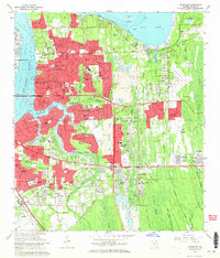
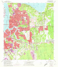
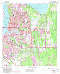
Editions of this 1963 Arlington Map
6 editions found
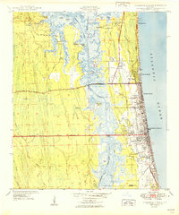
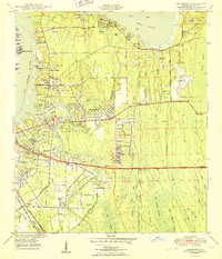
Other maps of this area

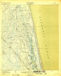
1917 · Orange Park
USGS Topo · 1:62,500

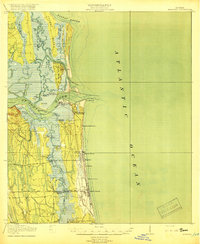
1918 · Jacksonville
USGS Topo · 1:62,500

1918 · Orange Park
USGS Topo · 1:62,500
1918 · Palm Valley
USGS Topo · 1:62,500
1918 · Mayport
USGS Topo · 1:62,500

1948 · Jacksonville
USGS Topo · 1:250,000
1948 · Jacksonville Beach
USGS Topo · 1:24,000

1948 · Eastport
USGS Topo · 1:24,000
1949 · Jacksonville Beach
USGS Topo · 1:24,000
1950 · Arlington
USGS Topo · 1:24,000
Featured Places
- Jacksonville, FL
- Holiday Hill, Jacksonville
- Newcastle, Jacksonville
- Hogan, Jacksonville
- Bridgewater, Jacksonville