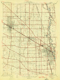
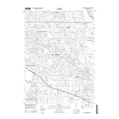
1927 Map of Arlington Heights
USGS Topo · Published 1946About this map
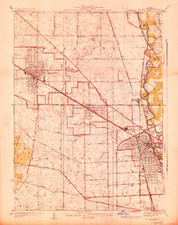
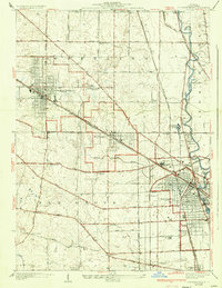
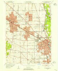
The Chicago and Northwestern and Minneapolis St Paul and Sault Ste Marie railroads anchor the development of this Cook County corridor during the mid-1940s. While Arlington Heights and Des Plaines show established street grids, much of the surrounding landscape remains defined by agricultural holdings and drainage improvements like the Wheeling Drainage Ditch. The transition from rural to suburban is evident in the cluster of small schools and cemeteries, including the English Cemetery and Wilson School, which served the outlying farm families before later expansion. Large institutional footprints such as the St Marys Training School and religious sites like St Johns Church provide landmarks among the winding course of the Des Plaines River. Regional travel is facilitated by early major thoroughfares like Milwaukee Avenue and Algonquin Road, connecting vanished stops such as Feehanville Sta to the growing residential hubs.
Find a feature on this map
61 named features on this map. Tap any name to fly to it.
Don’t see what you’re looking for? This feature index may not catch every label — zoom into the map to look around manually.
Map Details
Editions of this 1927 Arlington Heights Map
3 editions found
Historical Maps of Chicago Through Time
11 maps found
1927 Arlington Heights
Cook County, IL
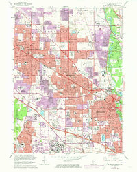
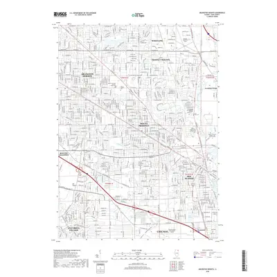
1953 Arlington Heights
Cook County, IL
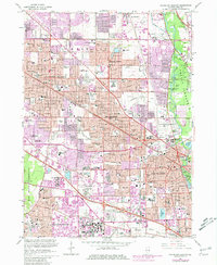
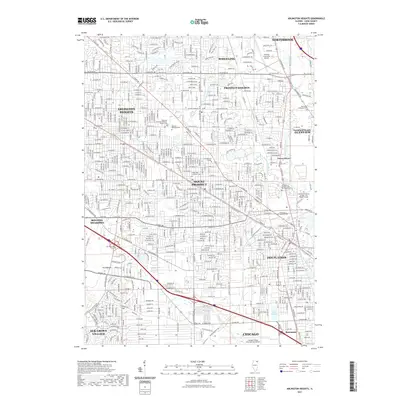
1962 Arlington Heights
Cook County, IL
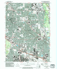
1963 Arlington Heights
Cook County, IL
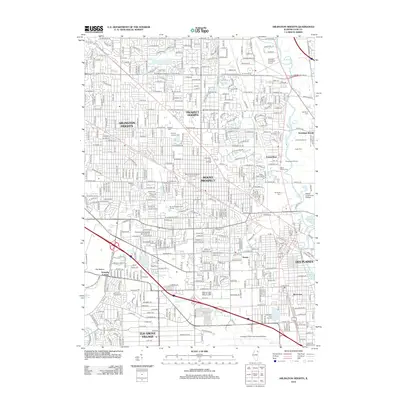
1993 Arlington Heights
Cook County, IL

1995 Arlington Heights
Cook County, IL
2012 Arlington Heights
Cook County, IL
2015 Arlington Heights
Cook County, IL
2018 Arlington Heights
Cook County, IL
2021 Arlington Heights
Cook County, IL
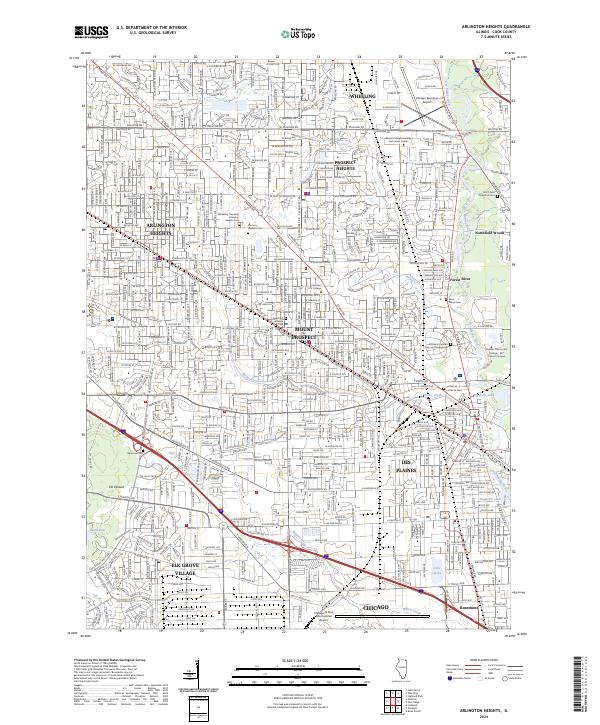
2024 Arlington Heights
Cook County, IL