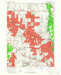
1963 Map of Arlington Heights
USGS Topo · Published 1964About this map
Arlington Heights and Des Plaines anchor this detailed study of the Northwest Suburbs during a period of rapid post-war residential expansion. The landscape is a mix of established town centers and new subdivisions pushing into former agricultural tracts like Marquis Farm. Significant religious and social institutions are prominent, including All Saints Cemetery, Holy Family Hospital, and several parochial schools such as St James Sch.
Find a feature on this map
130 named features on this map. Tap any name to fly to it.
Don’t see what you’re looking for? This feature index may not catch every label — zoom into the map to look around manually.
Map Details
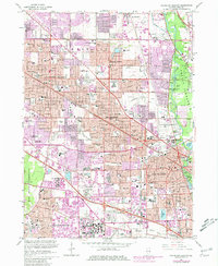
Editions of this 1963 Arlington Heights Map
2 editions found
Other maps of this area

1891 · Riverside
USGS Topo · 1:62,500

1893 · Riverside
USGS Topo · 1:62,500

1900 · Riverside
USGS Topo · 1:62,500

1900 · Highwood
USGS Topo · 1:62,500

1901 · Riverside
USGS Topo · 1:62,500

1908 · Wheaton
USGS Topo · 1:62,500

1923 · Barrington
USGS Topo · 1:62,500

1927 · Arlington Heights
USGS Topo · 1:24,000

1928 · Elmhurst
USGS Topo · 1:24,000

1928 · Wheeling
USGS Topo · 1:24,000