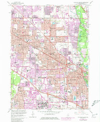
1963 Map of Arlington Heights
USGS Topo · Published 1981About this map
Wheeling, Arlington Heights, and Mt Prospect define the rapidly expanding residential and commercial character of Cook County during the post-war era. The landscape shows a transition from agricultural roots to a modern suburban grid, dominated by large-scale developments like the Randhurst Shopping Center and the Mt Prospect Shopping Center. Transportation is central to this growth, with the Chicago and North Western railroad bisecting the region while the Tri-State Tollway and Northwest Tollway facilitate the emerging car-centric culture.
Find a feature on this map
144 named features on this map. Tap any name to fly to it.
Don’t see what you’re looking for? This feature index may not catch every label — zoom into the map to look around manually.
Map Details
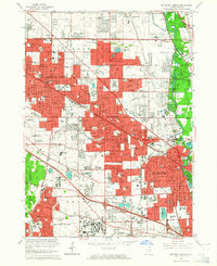
Editions of this 1963 Arlington Heights Map
2 editions found
Other maps of this area

1891 · Riverside
USGS Topo · 1:62,500

1893 · Riverside
USGS Topo · 1:62,500

1900 · Riverside
USGS Topo · 1:62,500

1900 · Highwood
USGS Topo · 1:62,500

1901 · Riverside
USGS Topo · 1:62,500

1908 · Wheaton
USGS Topo · 1:62,500

1923 · Barrington
USGS Topo · 1:62,500

1927 · Arlington Heights
USGS Topo · 1:24,000

1928 · Elmhurst
USGS Topo · 1:24,000

1928 · Wheeling
USGS Topo · 1:24,000