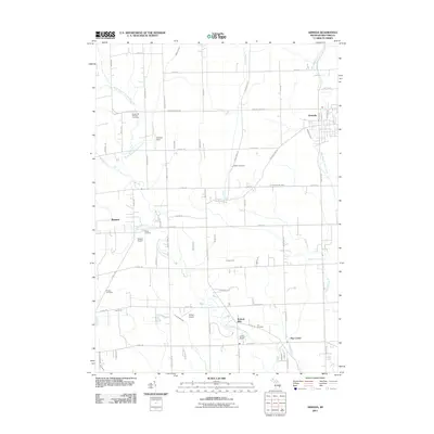
2011 Map of Armada
USGS Topo · Published 2011About this map
Armada and Romeo anchor this 2011 survey of Macomb County, Michigan, where the landscape is defined by an intricate network of agricultural drains and creeks feeding the North Branch Clinton River. The map highlights a rural-industrial heritage at Wolcott Mills, situated along the river near Camp Rotary and Lee Cemetery. This area maintains its agricultural character even as localized airstrips like Romeo Airport and Dodge Airport indicate modern utility. For those researching family history, the map preserves the exact locations of several small burial grounds, including Hadley Cemetery and Procter Cemetery. Smaller named locales like Ray Center and the Kriewall Strip persist alongside extensive water management features such as Mahaffy Drain and Newland Drain, illustrating the long-term engineering required to maintain the region's productive farmland.
Find a feature on this map
70 named features on this map. Tap any name to fly to it.
Don’t see what you’re looking for? This feature index may not catch every label — zoom into the map to look around manually.
Map Details
Editions of this 2011 Armada Map
This is the sole edition of this map. No revisions or reprints were ever made.
Other maps of this area

1908 · Rochester
USGS Topo · 1:62,500

1912 · Mt Clemens
USGS Topo · 1:62,500

1914 · Armada
USGS Topo · 1:62,500

1928 · Armada
USGS Topo · 1:62,500

1929 · Mt Clemens
USGS Topo · 1:62,500

1936 · New Haven
USGS Topo · 1:31,680

1936 · Washington
USGS Topo · 1:31,680

1936 · Waldenburg
USGS Topo · 1:31,680

1943 · Romeo
USGS Topo · 1:24,000

1944 · Memphis
USGS Topo · 1:24,000