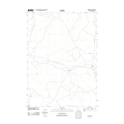
2012 Map of Arminto
USGS Topo · Published 2012About this map
The high plains of Natrona County converge at Arminto, a small outpost defined by the intersection of remote ranching routes and water management systems. In this arid landscape, the drainage patterns of Red Cr and Alkali Cr dictate the placement of human activity, including the Carlson Ranch. The map reveals a sophisticated network of water storage, with Jackpot Reservoir in the northeast, Bad Water Creek Reservoir near the town site, and Garrison Reservoir to the southwest. These features highlight the importance of water security for the livestock operations that dominate this segment of the Wyoming interior. Transportation is focused on three primary corridors: Buffalo Creek Rd, Lost Cabin Rd, and Arminto Rd, which provide the essential links between these isolated ranching hubs and the surrounding range.
Find a feature on this map
11 named features on this map. Tap any name to fly to it.
Don’t see what you’re looking for? This feature index may not catch every label — zoom into the map to look around manually.
Map Details
Editions of this 2012 Arminto Map
This is the sole edition of this map. No revisions or reprints were ever made.
Other maps of this area

1952 · Deadman Butte
USGS Topo · 1:24,000

1952 · Badwater
USGS Topo · 1:24,000

1952 · Arminto
USGS Topo · 1:24,000

1952 · Arminto SW
USGS Topo · 1:24,000

1952 · Arminto NW
USGS Topo · 1:24,000

1952 · Waltman NW
USGS Topo · 1:24,000

1952 · Waltman
USGS Topo · 1:24,000

1952 · Hiland
USGS Topo · 1:24,000

1952 · Badwater SE
USGS Topo · 1:24,000

1955 · Arminto
USGS Topo · 1:250,000