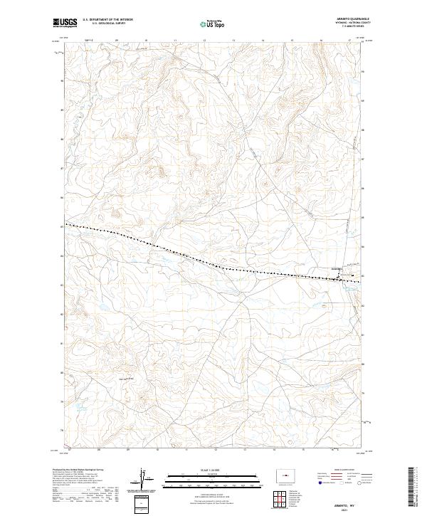
2021 Map of Arminto
USGS Topo · Published 2021About this map
Arminto stands as the primary point of human settlement in this high-plains landscape of Natrona County, where the infrastructure of rural Wyoming meets a network of vital seasonal drainages. The Arminto Cem provides a focal point for genealogical research, situated just south of the settlement where Baker Cabin Rd and Arminto Rd converge. Water management is a defining characteristic of the terrain, visible through features like the Bad Water Cr Reservoir and the Garrison Reservoir, which serve a landscape dominated by the winding paths of Alkali Cr and Red Cr. Long-established routes including Lost Cabin Rd and Buffalo Creek Rd suggest the enduring importance of this area as a transit corridor through the drainage basins of Garrison Draw and E-K Cr.
Find a feature on this map
18 named features on this map. Tap any name to fly to it.
Don’t see what you’re looking for? This feature index may not catch every label — zoom into the map to look around manually.
Map Details
Editions of this 2021 Arminto Map
This is the sole edition of this map. No revisions or reprints were ever made.
Other maps of this area

1952 · Deadman Butte
USGS Topo · 1:24,000

1952 · Badwater
USGS Topo · 1:24,000

1952 · Arminto
USGS Topo · 1:24,000

1952 · Arminto SW
USGS Topo · 1:24,000

1952 · Arminto NW
USGS Topo · 1:24,000

1952 · Waltman NW
USGS Topo · 1:24,000

1952 · Waltman
USGS Topo · 1:24,000

1952 · Hiland
USGS Topo · 1:24,000

1952 · Badwater SE
USGS Topo · 1:24,000

1955 · Arminto
USGS Topo · 1:250,000