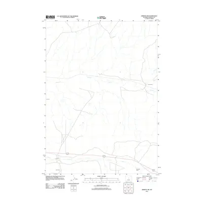
2012 Map of Arminto NW
USGS Topo · Published 2012About this map
Isolated cattle and sheep operations define this high-desert landscape in Natrona County during the early 2010s. The region is marked by historic grazing lands, with family-named outposts such as Sullivan Ranch and Todd Ranch established near the few reliable water sources available. The drainage patterns are dominated by seasonal flows like Alkali Cr and Poison Cr, whose names reflect the mineral-heavy water common to this part of the Wyoming Basin. In the southern reaches, Wight Ranch and Jack Ranch sit near the transition to Garrison Draw, showing how human settlement in this arid environment remained tied to these specific creek beds and the shelter of the terrain long after the initial frontier era.
Find a feature on this map
8 named features on this map. Tap any name to fly to it.
Don’t see what you’re looking for? This feature index may not catch every label — zoom into the map to look around manually.
Map Details
Editions of this 2012 Arminto NW Map
This is the sole edition of this map. No revisions or reprints were ever made.
Other maps of this area

1952 · Badwater
USGS Topo · 1:24,000

1952 · Arminto
USGS Topo · 1:24,000

1952 · Arminto SW
USGS Topo · 1:24,000

1952 · Madden
USGS Topo · 1:24,000

1952 · Arminto NW
USGS Topo · 1:24,000

1952 · Lysite SE
USGS Topo · 1:24,000

1952 · Moneta SE
USGS Topo · 1:24,000

1952 · Hiland
USGS Topo · 1:24,000

1952 · Badwater SE
USGS Topo · 1:24,000

1955 · Arminto
USGS Topo · 1:250,000