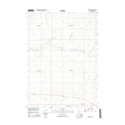
2015 Map of Arminto NW
USGS Topo · Published 2015About this map
Alkali Cr and Poison Cr dominate this drainage landscape in northern Natrona County, following the natural contours of the Central Wyoming basin. The mapping of t38n r89w and surrounding townships reveals a region focused on water management and seasonal runoff, evidenced by the presence of Fossil Reservoir and Jack Reservoir. This 2015 survey illustrates how traditional range boundaries and Public Land Survey System lines intersect with the physical geography of Garrison Draw and Red Cr. The sparse infrastructure on this sheet emphasizes the land's use for grazing and potential mineral development, characteristic of the high-desert interior west.
Find a feature on this map
11 named features on this map. Tap any name to fly to it.
Don’t see what you’re looking for? This feature index may not catch every label — zoom into the map to look around manually.
Map Details
Editions of this 2015 Arminto NW Map
This is the sole edition of this map. No revisions or reprints were ever made.
Other maps of this area

1952 · Badwater
USGS Topo · 1:24,000

1952 · Arminto
USGS Topo · 1:24,000

1952 · Arminto SW
USGS Topo · 1:24,000

1952 · Madden
USGS Topo · 1:24,000

1952 · Arminto NW
USGS Topo · 1:24,000

1952 · Lysite SE
USGS Topo · 1:24,000

1952 · Moneta SE
USGS Topo · 1:24,000

1952 · Hiland
USGS Topo · 1:24,000

1952 · Badwater SE
USGS Topo · 1:24,000

1955 · Arminto
USGS Topo · 1:250,000