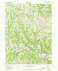
1960 Map of Armstrongs Mills
USGS Topo · Published 1973About this map
Captina Creek carves a deep path through these Belmont County hills, defining the early industry and transport corridor of the region. The village of Armstrongs Mills sits at the center of this landscape, where the Penn Central line follows the water's edge, serving a terrain dotted with small-scale extractive operations including several mines and oil wells. The map reveals a community structured around rural institutions, from the Township Sch to numerous country sanctuaries like Bethel Ch and Concord Ch.
Find a feature on this map
51 named features on this map. Tap any name to fly to it.
Don’t see what you’re looking for? This feature index may not catch every label — zoom into the map to look around manually.
Map Details
Editions of this 1960 Armstrongs Mills Map
2 editions found
Other maps of this area

1903 · Flushing
USGS Topo · 1:62,500

1905 · Clarington
USGS Topo · 1:62,500

1905 · St. Clairsville
USGS Topo · 1:62,500

1905 · Woodsfield
USGS Topo · 1:62,500

1905 · Flushing
USGS Topo · 1:62,500

1935 · Clarington
USGS Topo · 1:62,500

1940 · Clarington
USGS Topo · 1:62,500

1949 · Clarksburg
USGS Topo · 1:250,000

1951 · Canton
USGS Topo · 1:250,000

1953 · Canton
USGS Topo · 1:250,000