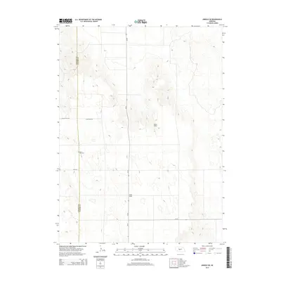
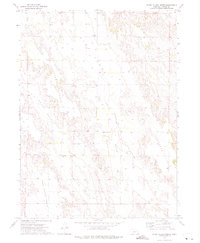
2014 Map of Arnold SW
USGS Topo · Published 2014About this map
The boundary between Lincoln County and Custer County divides this high plains landscape of western Nebraska. The terrain is defined by broad geographic features such as Tallin Table and the distinct depression of Yucca Valley, illustrating the expansive cattle country and agricultural layout of the region in the early 21st century. Local transit and access follow a sparse network of section-line roads, including Kilmar Valley Rd and Niedan Rd, which serve the isolated homesteads and ranches characteristic of the area. For those researching local family history or land use, the presence of the Kilmer Valley Cem provides a specific point of interest, marking a historical site of community gathering and remembrance amidst the grazing lands along State Highway 40.
Find a feature on this map
8 named features on this map. Tap any name to fly to it.
Don’t see what you’re looking for? This feature index may not catch every label — zoom into the map to look around manually.
Map Details
Editions of this 2014 Arnold SW Map
This is the sole edition of this map. No revisions or reprints were ever made.
Other maps of this area

1954 · North Platte
USGS Topo · 1:250,000

1956 · North Platte
USGS Topo · 1:250,000

1957 · North Platte
USGS Topo · 1:250,000

1967 · North Platte
USGS Topo · 1:250,000
1972 · Davenport Table
USGS Topo · 1:24,000
1972 · Murphy Table
USGS Topo · 1:24,000

1972 · Logan
USGS Topo · 1:24,000

1972 · Arnold
USGS Topo · 1:24,000
1972 · Odencranze Table North
USGS Topo · 1:24,000
1972 · Roten Valley North
USGS Topo · 1:24,000