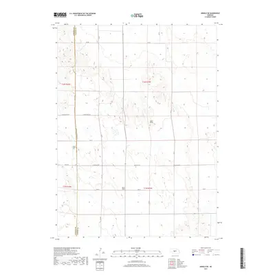
2017 Map of Arnold SW
USGS Topo · Published 2017About this map
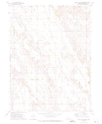
Tallin Table rises as a prominent geographic feature within this 2017 survey of the borderlands between Lincoln and Custer counties. This section of the Nebraska loess hills is characterized by a network of ranch and section-line roads, including the aptly named Minimum Maintenance Rd and Sand Valley Rd. The map provides specific locational data for genealogists and local historians, most notably the Kilmer Valley Cem situated just west of the county line. The landscape is a mix of high tablelands and depressions like Yucca Valley, connected by a grid of rural routes such as Niedan Rd and Kilmar Valley Rd. This cartographic record illustrates the persistent rural infrastructure of the High Plains, where remote cemeteries and named geological formations remain the primary landmarks for local navigation.
Find a feature on this map
23 named features on this map. Tap any name to fly to it.
Don’t see what you’re looking for? This feature index may not catch every label — zoom into the map to look around manually.
Map Details
Editions of this 2017 Arnold SW Map
This is the sole edition of this map. No revisions or reprints were ever made.
Other maps of this area

1954 · North Platte
USGS Topo · 1:250,000

1956 · North Platte
USGS Topo · 1:250,000

1957 · North Platte
USGS Topo · 1:250,000

1967 · North Platte
USGS Topo · 1:250,000
1972 · Davenport Table
USGS Topo · 1:24,000
1972 · Murphy Table
USGS Topo · 1:24,000

1972 · Logan
USGS Topo · 1:24,000

1972 · Arnold
USGS Topo · 1:24,000
1972 · Odencranze Table North
USGS Topo · 1:24,000
1972 · Roten Valley North
USGS Topo · 1:24,000