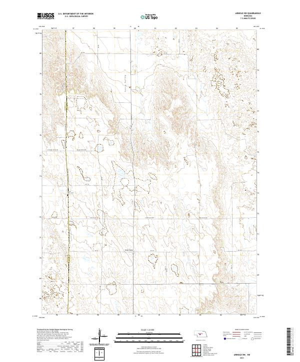
2021 Map of Arnold SW
USGS Topo · Published 2021About this map
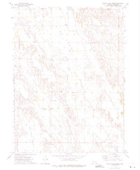
The boundary between Lincoln and Custer Counties bisects this section of the Nebraska Sandhills, defining a rural landscape of high prairie plateaus and sheltered drainages. The Kilmer Valley Cem serves as a significant genealogical landmark in this sparsely populated region, located just off the Minimum Maintenance Rd that traverses the local topography. The map reveals the contrast between the broad, flat expanse of Tallin Table in the south and the more defined depression of Yucca Valley to the north. Transportation is defined by a grid of section-line roads, including Sand Valley Rd and Kilmar Valley Rd, which provide access to remote ranching homesteads across the townships of T16N and T15N.
Find a feature on this map
23 named features on this map. Tap any name to fly to it.
Don’t see what you’re looking for? This feature index may not catch every label — zoom into the map to look around manually.
Map Details
Editions of this 2021 Arnold SW Map
This is the sole edition of this map. No revisions or reprints were ever made.
Other maps of this area

1954 · North Platte
USGS Topo · 1:250,000

1956 · North Platte
USGS Topo · 1:250,000

1957 · North Platte
USGS Topo · 1:250,000

1967 · North Platte
USGS Topo · 1:250,000
1972 · Davenport Table
USGS Topo · 1:24,000
1972 · Murphy Table
USGS Topo · 1:24,000

1972 · Logan
USGS Topo · 1:24,000

1972 · Arnold
USGS Topo · 1:24,000
1972 · Odencranze Table North
USGS Topo · 1:24,000
1972 · Roten Valley North
USGS Topo · 1:24,000