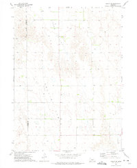
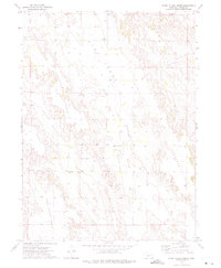
1972 Map of Arnold SW
USGS Topo · Published 1975About this map
Tallin Table and Yucca Valley dominate this high plains landscape along the county line between Lincoln Co and Custer Co. The 1972 topography illustrates the sparse, agrarian settlement pattern of this region, where life centers around family-run landholdings and essential community outposts. Local history is anchored at the Tallin Sch and the Kilmer Valley Cem, markers of the area's rural heritage. Numerous labels for Well indicate the vital importance of groundwater for sustaining the agricultural operations and remote households scattered across the tableland.
Find a feature on this map
6 named features on this map. Tap any name to fly to it.
Don’t see what you’re looking for? This feature index may not catch every label — zoom into the map to look around manually.
Map Details
Editions of this 1972 Arnold SW Map
This is the sole edition of this map. No revisions or reprints were ever made.
Other maps of this area

1954 · North Platte
USGS Topo · 1:250,000

1956 · North Platte
USGS Topo · 1:250,000

1957 · North Platte
USGS Topo · 1:250,000

1967 · North Platte
USGS Topo · 1:250,000
1972 · Davenport Table
USGS Topo · 1:24,000
1972 · Murphy Table
USGS Topo · 1:24,000

1972 · Logan
USGS Topo · 1:24,000

1972 · Arnold
USGS Topo · 1:24,000
1972 · Odencranze Table North
USGS Topo · 1:24,000
1972 · Roten Valley North
USGS Topo · 1:24,000