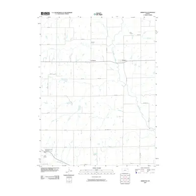
2009 Map of Arrington
USGS Topo · Published 2009About this map
Arrington and Larkinburg serve as the primary focal points of this Jackson County landscape, situated where several significant waterways converge. The Delaware River winds through the eastern portion of the territory, joined by the waters of Elk Creek, Straight Creek, and Nebo Creek. This network of tributaries underscores the drainage patterns vital to the region's agricultural layout, which is organized by a precise grid of rural routes such as Half Mound Rd and Bourbon Rd.
Find a feature on this map
39 named features on this map. Tap any name to fly to it.
Don’t see what you’re looking for? This feature index may not catch every label — zoom into the map to look around manually.
Map Details
Editions of this 2009 Arrington Map
This is the sole edition of this map. No revisions or reprints were ever made.
Other maps of this area

1885 · Atchison
USGS Topo · 1:125,000

1886 · Oskaloosa
USGS Topo · 1:125,000

1888 · Oskaloosa
USGS Topo · 1:125,000

1888 · Atchison
USGS Topo · 1:125,000

1888 · Hiawatha
USGS Topo · 1:125,000

1889 · Topeka
USGS Topo · 1:125,000

1893 · Atchison
USGS Topo · 1:125,000

1894 · Oskaloosa
USGS Topo · 1:125,000

1894 · Topeka
USGS Topo · 1:125,000

1894 · Hiawatha
USGS Topo · 1:125,000