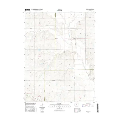
2015 Map of Arrington
USGS Topo · Published 2015About this map
The Delaware River meanders through this portion of northeast Kansas, defining the rural landscape where the boundaries of Jackson, Atchison, and Jefferson Counties converge. The small settlement of Arrington sits on the river's western bank, while Larkinburg is situated further west along the county line. This area is characterized by the dissected terrain of the Half Mound region, where numerous tributaries like Catamount Cr, Straight Cr, and Elk Cr have carved the undulating surface.
Find a feature on this map
36 named features on this map. Tap any name to fly to it.
Don’t see what you’re looking for? This feature index may not catch every label — zoom into the map to look around manually.
Map Details
Editions of this 2015 Arrington Map
This is the sole edition of this map. No revisions or reprints were ever made.
Other maps of this area

1885 · Atchison
USGS Topo · 1:125,000

1886 · Oskaloosa
USGS Topo · 1:125,000

1888 · Oskaloosa
USGS Topo · 1:125,000

1888 · Atchison
USGS Topo · 1:125,000

1888 · Hiawatha
USGS Topo · 1:125,000

1889 · Topeka
USGS Topo · 1:125,000

1893 · Atchison
USGS Topo · 1:125,000

1894 · Oskaloosa
USGS Topo · 1:125,000

1894 · Topeka
USGS Topo · 1:125,000

1894 · Hiawatha
USGS Topo · 1:125,000