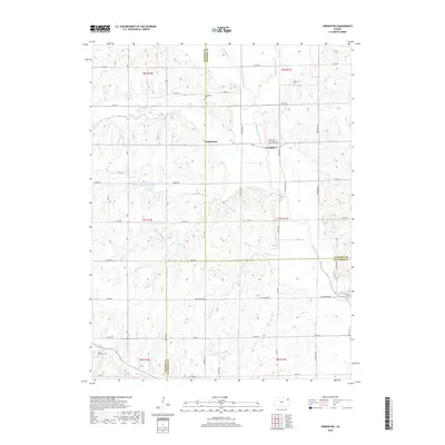
2018 Map of Arrington
USGS Topo · Published 2018About this map
Larkinburg and Arrington anchor this rural landscape where Jackson, Atchison, and Jefferson counties converge. The topography is defined by the winding course of the Delaware River and its numerous tributaries, including Elk Cr and Catamount Cr. This 2018 survey reveals a terrain deeply carved by water, with Nebo Lake providing a localized catchment in the central hills.
Find a feature on this map
37 named features on this map. Tap any name to fly to it.
Don’t see what you’re looking for? This feature index may not catch every label — zoom into the map to look around manually.
Map Details
Editions of this 2018 Arrington Map
This is the sole edition of this map. No revisions or reprints were ever made.
Other maps of this area

1885 · Atchison
USGS Topo · 1:125,000

1886 · Oskaloosa
USGS Topo · 1:125,000

1888 · Oskaloosa
USGS Topo · 1:125,000

1888 · Atchison
USGS Topo · 1:125,000

1888 · Hiawatha
USGS Topo · 1:125,000

1889 · Topeka
USGS Topo · 1:125,000

1893 · Atchison
USGS Topo · 1:125,000

1894 · Oskaloosa
USGS Topo · 1:125,000

1894 · Topeka
USGS Topo · 1:125,000

1894 · Hiawatha
USGS Topo · 1:125,000