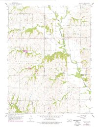
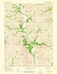
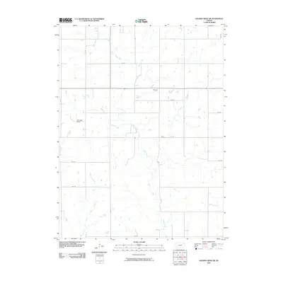
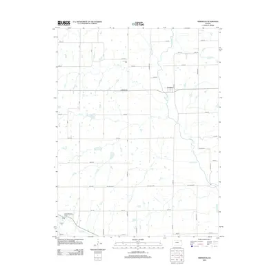
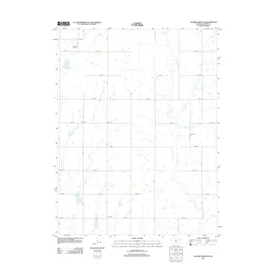
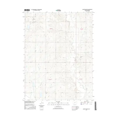
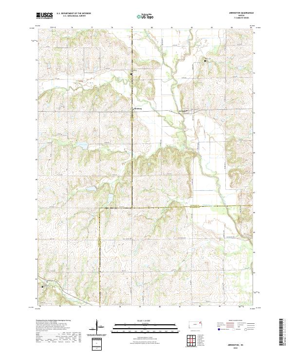
1960 Map of Arrington
USGS Topo · Published 1978About this map
Arrington and Larkinburg serve as the primary hubs of this landscape where the Delaware River winds through the borderlands of Jackson, Atchison, and Jefferson counties. The terrain reflects a quiet rural transition with small settlements like Nebo and South Denison anchored by their respective burial grounds, including the South Denison Cem and Miller Cem. Civil engineering of the mid-20th century is evident through the inclusion of a local Landing Field near Larkinburg and the creation of Nebo Lake.
Find a feature on this map
25 named features on this map. Tap any name to fly to it.
Don’t see what you’re looking for? This feature index may not catch every label — zoom into the map to look around manually.
Map Details
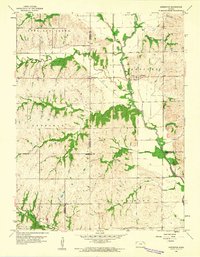
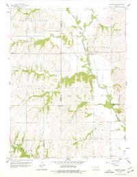
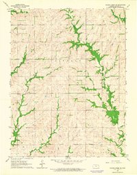
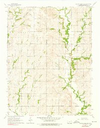
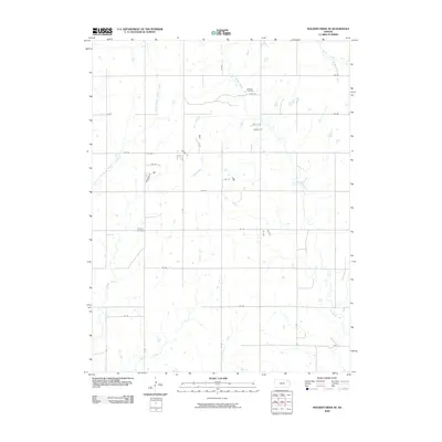
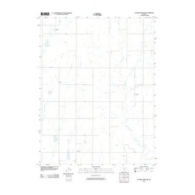
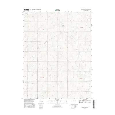
Editions of this 1960 Arrington Map
3 editions found
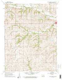
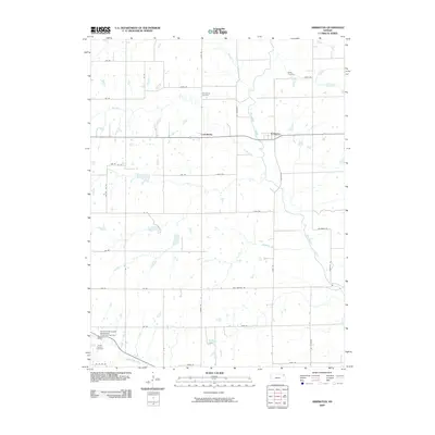
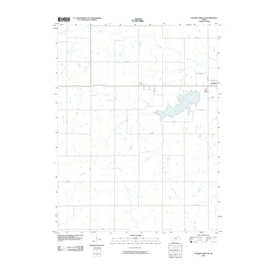
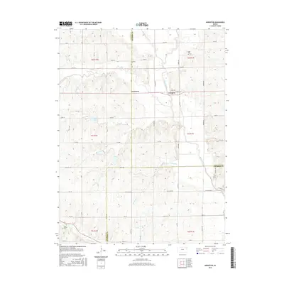
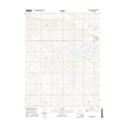
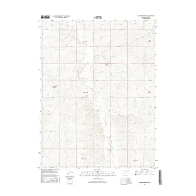
Historical Maps of Kapioma Township Through Time
30 maps found
1960 Arrington
Jackson County, KS
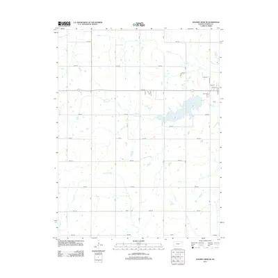
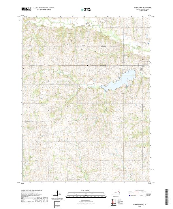
1960 Soldier Creek NE
Jackson County, KS
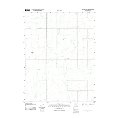
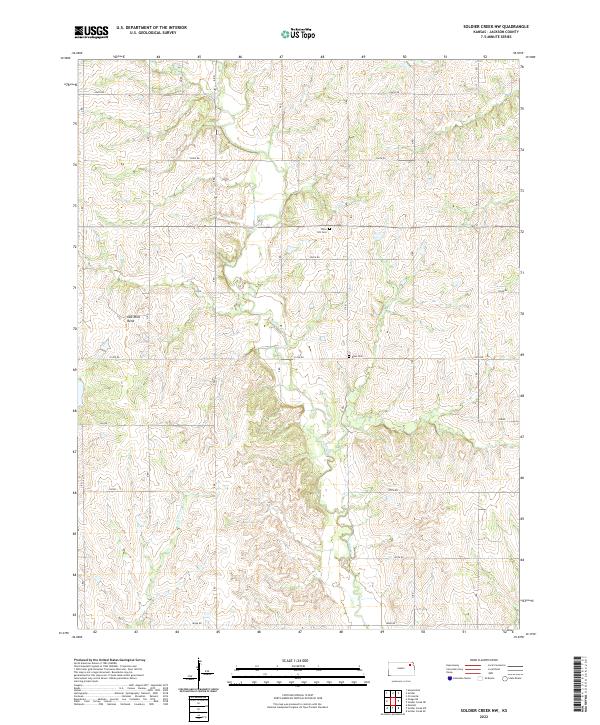
1964 Soldier Creek NW
Jackson County, KS
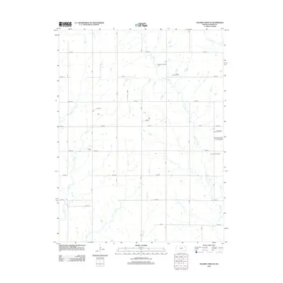
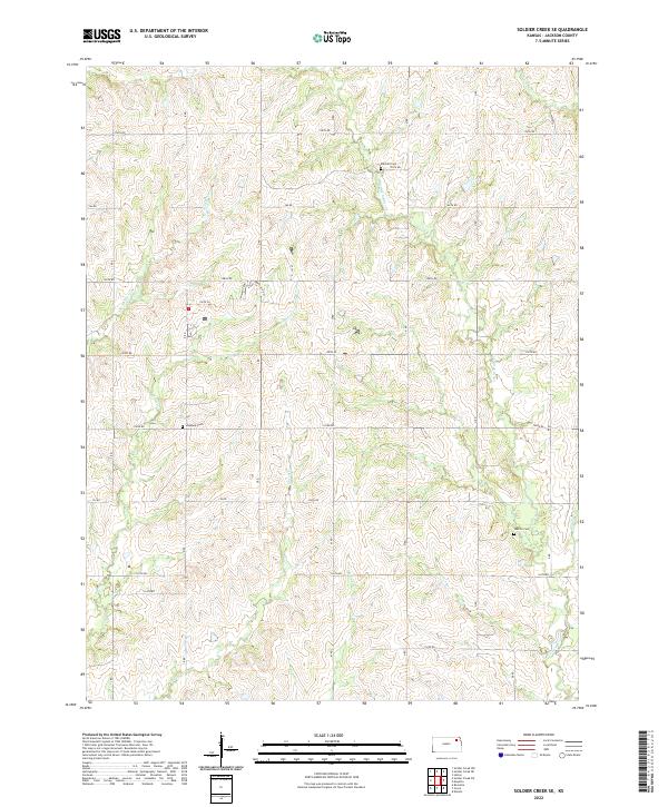
1964 Soldier Creek SE
Jackson County, KS
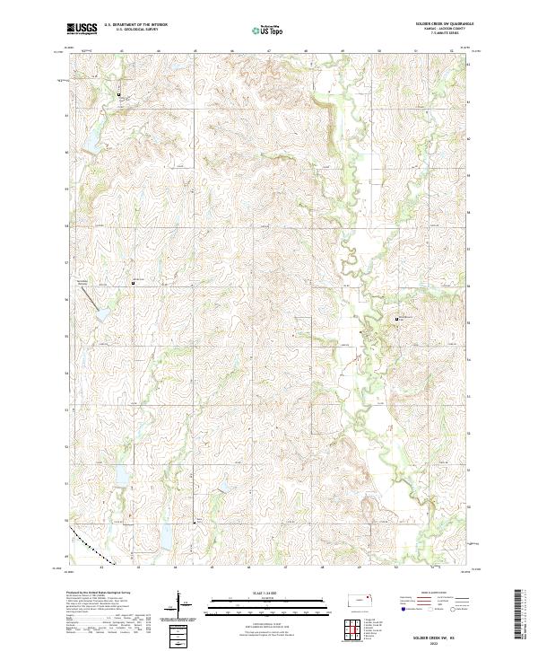
1964 Soldier Creek SW
Jackson County, KS
2009 Arrington
Jackson County, KS
2009 Soldier Creek NW
Jackson County, KS
2009 Soldier Creek SE
Jackson County, KS
2009 Soldier Creek SW
Jackson County, KS
2010 Soldier Creek NE
Jackson County, KS
2012 Arrington
Jackson County, KS
2012 Soldier Creek NE
Jackson County, KS
2012 Soldier Creek NW
Jackson County, KS
2012 Soldier Creek SE
Jackson County, KS
2012 Soldier Creek SW
Jackson County, KS
2015 Arrington
Jackson County, KS
2015 Soldier Creek NE
Jackson County, KS
2015 Soldier Creek NW
Jackson County, KS
2015 Soldier Creek SW
Jackson County, KS
2016 Soldier Creek SE
Jackson County, KS
2018 Arrington
Jackson County, KS
2018 Soldier Creek NE
Jackson County, KS
2018 Soldier Creek NW
Jackson County, KS
2018 Soldier Creek SE
Jackson County, KS
2018 Soldier Creek SW
Jackson County, KS
2022 Arrington
Jackson County, KS
2022 Soldier Creek NE
Jackson County, KS
2022 Soldier Creek NW
Jackson County, KS
2022 Soldier Creek SE
Jackson County, KS
2022 Soldier Creek SW
Jackson County, KS
Featured Locations
- Atchison County, KS
- Jefferson County, KS
- Larkinburg, KS
- Kapioma Township, KS
- Arrington, Kapioma Township