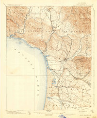
1897 Map of Arroyo Grande
USGS Topo · Published 1937About this map
The Southern Pacific R. R. (Coast Line) defines the early industrial and transit corridor of this Central Coast landscape, connecting the inland Arroyo Grande Valley to the coastal ports and settlements. Near the shoreline, Mallagh Landing and Avila sit at the edge of San Luis Obispo Bay, while further south, the towns of Pismo, Grover, and Oceano mark the transition from the beach to the fertile interior. Local industry is clearly represented by the Asphalt Mines near Edna, highlighting the region's early resource extraction alongside its agricultural roots.
Find a feature on this map
75 named features on this map. Tap any name to fly to it.
Don’t see what you’re looking for? This feature index may not catch every label — zoom into the map to look around manually.
Map Details
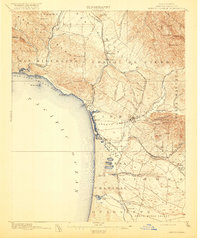
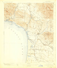
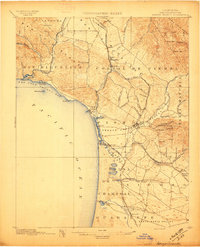
Editions of this 1897 Arroyo Grande Map
5 editions found
Other maps of this area

1897 · Port Harford
USGS Topo · 1:62,500

1897 · San Luis Obispo
USGS Topo · 1:62,500

1897 · Cayucos
USGS Topo · 1:62,500

1897 · Arroyo Grande
USGS Topo · 1:62,500

1900 · San Luis
USGS Topo · 1:125,000

1905 · Guadalupe
USGS Topo · 1:125,000

1905 · Lompoc
USGS Topo · 1:125,000

1922 · Pozo
USGS Topo · 1:62,500

1922 · Nipomo
USGS Topo · 1:62,500

1937 · Cayucos
USGS Topo · 1:62,500