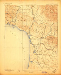
1897 Map of Arroyo Grande
USGS Topo · Published 1987About this map
San Luis Obispo Bay anchors this coastal topography, where the shoreline transition from Fossil Pt. to the wide beaches of Pismo and Oceano reflects the diverse geology of the San Luis Range. The landscape is defined by its early industrial and agricultural footprints, notably the Asphalt Mines near Edna and the expansive Arroyo Grande Valley. The Southern Pacific R. R. (Coast Line) runs parallel to the coast, connecting early whistle-stops like Maxwellton, Callender, and Bromela.
Find a feature on this map
78 named features on this map. Tap any name to fly to it.
Don’t see what you’re looking for? This feature index may not catch every label — zoom into the map to look around manually.
Map Details
Editions of this 1897 Arroyo Grande Map
5 editions found
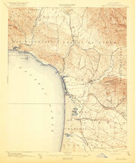
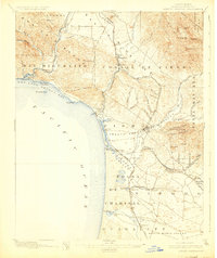
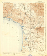
Other maps of this area

1897 · Port Harford
USGS Topo · 1:62,500

1897 · San Luis Obispo
USGS Topo · 1:62,500

1897 · Cayucos
USGS Topo · 1:62,500

1897 · Arroyo Grande
USGS Topo · 1:62,500

1900 · San Luis
USGS Topo · 1:125,000

1905 · Guadalupe
USGS Topo · 1:125,000

1905 · Lompoc
USGS Topo · 1:125,000

1922 · Pozo
USGS Topo · 1:62,500

1922 · Nipomo
USGS Topo · 1:62,500

1937 · Cayucos
USGS Topo · 1:62,500