
1893 Map of Arroyo
USGS Topo · Published 1893About this map
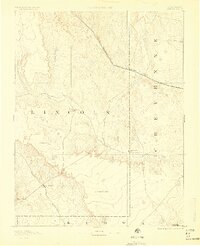
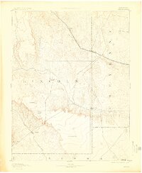
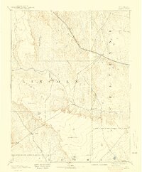
The Kansas Division Union Pacific Railroad cuts a diagonal path across this High Plains landscape, serving as the primary corridor for settlement and transit through eastern Colorado. Along this iron artery, small outposts like Bovero and Arroyo stand as isolated points of commerce in a region defined by wide drainages and distinct topographical breaks. The map captures an era of ranching dominance, where family operations such as Cox Ranch, Sheep Ranch, and Mosley Ranch represent the primary human imprint on the land.
Find a feature on this map
19 named features on this map. Tap any name to fly to it.
Don’t see what you’re looking for? This feature index may not catch every label — zoom into the map to look around manually.
Map Details
Editions of this 1893 Arroyo Map
4 editions found
Other maps of this area

1889 · Sanborn
USGS Topo · 1:125,000

1891 · Sanborn
USGS Topo · 1:125,000

1891 · Catlin
USGS Topo · 1:125,000

1891 · Arroyo
USGS Topo · 1:125,000

1891 · Kit Carson
USGS Topo · 1:125,000

1891 · Las Animas
USGS Topo · 1:125,000

1891 · Limon
USGS Topo · 1:125,000

1892 · Lamar
USGS Topo · 1:125,000

1892 · Limon
USGS Topo · 1:125,000

1893 · Kit Carson
USGS Topo · 1:125,000