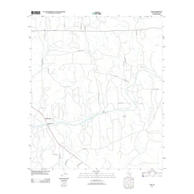
2012 Map of Art
USGS Topo · Published 2012About this map
The Llano River meanders through this portion of Mason County, defining the local landscape near the small community of Hedwigs Hill. This survey captures a network of rural ranch roads and family-named landmarks that speak to the area's deep-rooted agricultural history. Several historical burial sites are preserved across the terrain, including Martin Cem, Lower Willow Cem, and Kothmann Cem, each serving as a marker for the families who settled this rugged stretch of Texas.
Find a feature on this map
39 named features on this map. Tap any name to fly to it.
Don’t see what you’re looking for? This feature index may not catch every label — zoom into the map to look around manually.
Map Details
Editions of this 2012 Art Map
This is the sole edition of this map. No revisions or reprints were ever made.
Other maps of this area

1887 · Llano
USGS Topo · 1:125,000

1887 · Mason
USGS Topo · 1:125,000

1894 · Mason
USGS Topo · 1:125,000

1894 · Llano
USGS Topo · 1:125,000

1904 · Llano
USGS Topo · 1:125,000

1909 · Llano
USGS Topo · 1:125,000

1918 · Llano
USGS Topo · 1:125,000

1954 · Llano
USGS Topo · 1:250,000

1955 · Llano
USGS Topo · 1:250,000
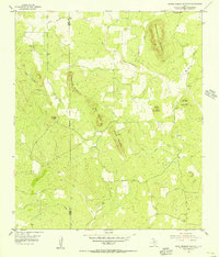
1955 · Smoothingiron Mountain
USGS Topo · 1:24,000