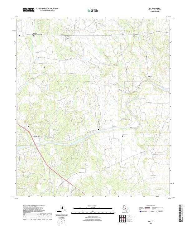
2022 Map of Art
USGS Topo · Published 2022About this map
Hedwigs Hill and the surrounding Hill Country landscape of Mason County are defined by the winding course of the Llano River and a network of seasonal creeks. The settlement pattern here is deeply rooted in local family history, evidenced by the numerous small burial grounds such as Martin Cem, Kothmann Cem, and Bauer Cem scattered across the ranchlands. These sites, along with Art West Cem and Art East Cem, serve as primary markers of the area's ancestral heritage.
Find a feature on this map
46 named features on this map. Tap any name to fly to it.
Don’t see what you’re looking for? This feature index may not catch every label — zoom into the map to look around manually.
Map Details
Editions of this 2022 Art Map
This is the sole edition of this map. No revisions or reprints were ever made.
Other maps of this area

1887 · Llano
USGS Topo · 1:125,000

1887 · Mason
USGS Topo · 1:125,000

1894 · Mason
USGS Topo · 1:125,000

1894 · Llano
USGS Topo · 1:125,000

1904 · Llano
USGS Topo · 1:125,000

1909 · Llano
USGS Topo · 1:125,000

1918 · Llano
USGS Topo · 1:125,000

1954 · Llano
USGS Topo · 1:250,000

1955 · Llano
USGS Topo · 1:250,000
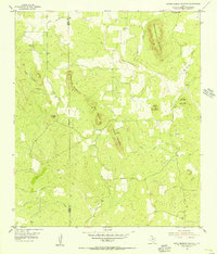
1955 · Smoothingiron Mountain
USGS Topo · 1:24,000