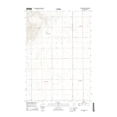
2015 Map of Artichoke Butte
USGS Topo · Published 2015About this map
Artichoke Butte stands as a prominent landmark above the eastern banks of the Missouri River in this portion of Sully County. The landscape is defined by the massive expanse of Lake Oahe, which dominates the northwestern corner of the sheet, and the smaller Troy Lake situated to the east. This 2015 survey reveals a rigid, expansive grid of rural section roads, including 174th St and 291st Ave, that divide the open prairie and agricultural lands. The primary corridor through this sparsely populated region is Route 1804, which runs north-south, providing a vital link through the high plains terrain. The map's detailed topography illustrates the sharp elevation changes near the river bluffs compared to the flatter tablelands found throughout the eastern townships.
Find a feature on this map
22 named features on this map. Tap any name to fly to it.
Don’t see what you’re looking for? This feature index may not catch every label — zoom into the map to look around manually.
Map Details
Editions of this 2015 Artichoke Butte Map
This is the sole edition of this map. No revisions or reprints were ever made.
Other maps of this area

1954 · Pierre
USGS Topo · 1:250,000

1958 · Pierre
USGS Topo · 1:250,000

1965 · Artichoke Butte
USGS Topo · 1:24,000

1965 · Agar SW
USGS Topo · 1:24,000

1965 · Okobojo NE
USGS Topo · 1:24,000

1965 · Artichoke Butte SW
USGS Topo · 1:24,000

1965 · Okobojo
USGS Topo · 1:24,000

1965 · Sully Lake
USGS Topo · 1:24,000

1969 · Artichoke Butte NW
USGS Topo · 1:24,000

1970 · Agar NW
USGS Topo · 1:24,000