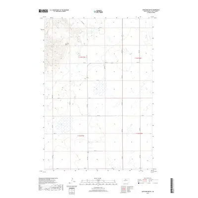
2017 Map of Artichoke Butte
USGS Topo · Published 2017About this map
Artichoke Butte rises as a prominent landmark above the eastern shores of Lake Oahe, characterizing this portion of the Sully County landscape. The topography is defined by the high ground of the butte and the intricate network of drainage ravines leading toward the Missouri River reservoir. Land use follows the Section-Township-Range system, with a precise grid of rural roads such as 291st Ave and 176th St providing access to the interior uplands. While much of the area consists of open terrain, interior water features like Troy Lake punctuate the landscape north of the butte. The 2017 survey by the U.S. Geological Survey illustrates a sparsely populated region where infrastructure is largely limited to thoroughfares like Sutton Bay Rd and Agar Rd, connecting the remote river breaks to the larger agricultural plateau of South Dakota.
Find a feature on this map
23 named features on this map. Tap any name to fly to it.
Don’t see what you’re looking for? This feature index may not catch every label — zoom into the map to look around manually.
Map Details
Editions of this 2017 Artichoke Butte Map
This is the sole edition of this map. No revisions or reprints were ever made.
Other maps of this area

1954 · Pierre
USGS Topo · 1:250,000

1958 · Pierre
USGS Topo · 1:250,000

1965 · Artichoke Butte
USGS Topo · 1:24,000

1965 · Agar SW
USGS Topo · 1:24,000

1965 · Okobojo NE
USGS Topo · 1:24,000

1965 · Artichoke Butte SW
USGS Topo · 1:24,000

1965 · Okobojo
USGS Topo · 1:24,000

1965 · Sully Lake
USGS Topo · 1:24,000

1969 · Artichoke Butte NW
USGS Topo · 1:24,000

1970 · Agar NW
USGS Topo · 1:24,000