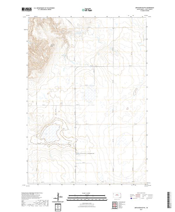
2021 Map of Artichoke Butte
USGS Topo · Published 2021About this map
Artichoke Butte stands as a prominent elevation within this Sully County landscape, anchoring a terrain defined by high plains and occasional wetlands. The northern reaches of the quadrangle feature Troy Lake, a distinct water body situated near the junction of Sutton Bay Rd and 174th St. The area's agricultural and rural structure is clearly delineated by an extensive grid of section-line roads, including Agar Rd and multiple north-south avenues like 291st Ave and 294th Ave. This systematic organization reflects the enduring influence of the Public Land Survey System, which remains the primary framework for land ownership and movement in this part of South Dakota. The map captures a moment of modern rural continuity, where traditional township and range boundaries like t116n r79w intersect with contemporary road networks.
Find a feature on this map
22 named features on this map. Tap any name to fly to it.
Don’t see what you’re looking for? This feature index may not catch every label — zoom into the map to look around manually.
Map Details
Editions of this 2021 Artichoke Butte Map
This is the sole edition of this map. No revisions or reprints were ever made.
Other maps of this area

1954 · Pierre
USGS Topo · 1:250,000

1958 · Pierre
USGS Topo · 1:250,000

1965 · Artichoke Butte
USGS Topo · 1:24,000

1965 · Agar SW
USGS Topo · 1:24,000

1965 · Okobojo NE
USGS Topo · 1:24,000

1965 · Artichoke Butte SW
USGS Topo · 1:24,000

1965 · Okobojo
USGS Topo · 1:24,000

1965 · Sully Lake
USGS Topo · 1:24,000

1969 · Artichoke Butte NW
USGS Topo · 1:24,000

1970 · Agar NW
USGS Topo · 1:24,000