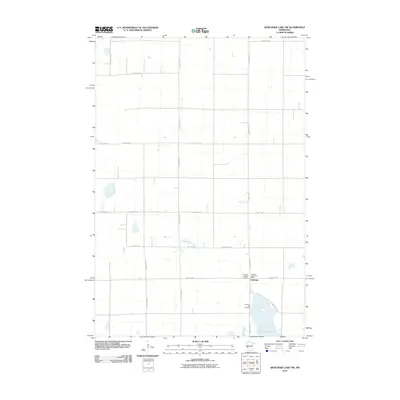
2010 Map of Artichoke Lake NW
USGS Topo · Published 2010About this map
Artichoke Lake anchors this prairie landscape in Big Stone County, where a grid of rural roads defines the agricultural character of western Minnesota. The settlement of Artichoke serves as a small community hub near the shoreline, marked by essential local landmarks including the Artichoke Lake Post Office. The map reflects a long-standing pattern of settlement and faith, preserved at the Artichoke Baptist Cemetery and Artichoke Lake Cemetery. Transportation across these plains relies on a system of well-defined routes such as County Hwy-8 and County Hwy-75, which connect the scattered farmsteads. The land's organization is further emphasized by jurisdictional markers like Co Line Rd, illustrating how early surveying and county boundaries continue to dictate the modern rural layout and property lines in this region.
Find a feature on this map
21 named features on this map. Tap any name to fly to it.
Don’t see what you’re looking for? This feature index may not catch every label — zoom into the map to look around manually.
Map Details
Editions of this 2010 Artichoke Lake NW Map
This is the sole edition of this map. No revisions or reprints were ever made.
Other maps of this area

1910 · Chokio
USGS Topo · 1:62,500

1912 · Chokio
USGS Topo · 1:62,500

1950 · Graceville
USGS Topo · 1:62,500

1953 · Ortonville
USGS Topo · 1:62,500

1953 · Milbank
USGS Topo · 1:250,000

1958 · Milbank
USGS Topo · 1:250,000

1968 · Dry Wood Lake
USGS Topo · 1:24,000

1968 · Lake Oliver
USGS Topo · 1:24,000

1968 · Artichoke Lake NW
USGS Topo · 1:24,000

1968 · Artichoke Lake
USGS Topo · 1:24,000