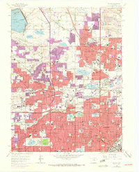
1965 Map of Arvada
USGS Topo · Published 1973About this map
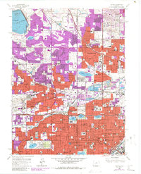
Arvada and its neighboring communities are captured during a period of rapid mid-century expansion along the northern periphery of Denver. The landscape is a complex intersection of historic irrigation systems, such as the Farmers Highline Canal, and the emerging suburban grid. This transition is evident in the purple-tinted urban extensions that overlap older land patterns near Wheat Ridge and Westminster. The presence of several religious and charitable institutions, including St Claras Orphanage and the St Vincents Home for Boys, suggests a long-standing community infrastructure that predates the post-war housing boom.
Find a feature on this map
85 named features on this map. Tap any name to fly to it.
Don’t see what you’re looking for? This feature index may not catch every label — zoom into the map to look around manually.
Map Details
Editions of this 1965 Arvada Map
6 editions found
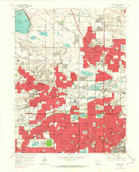
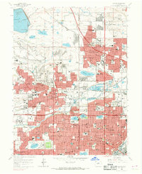
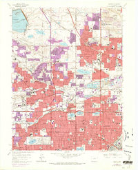
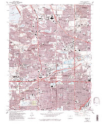
Other maps of this area

1890 · East Denver
USGS Topo · 1:125,000

1899 · West Denver
USGS Topo · 1:125,000

1935 · East Denver Nos. 3 and 4
USGS Topo · 1:48,000

1938 · Morrison
USGS Topo · 1:24,000

1938 · Derby
USGS Topo · 1:24,000

1939 · Golden
USGS Topo · 1:24,000

1940 · Englewood
USGS Topo · 1:31,680

1940 · Eastlake
USGS Topo · 1:31,680

1940 · Lafayette
USGS Topo · 1:31,680

1940 · Derby
USGS Topo · 1:31,680