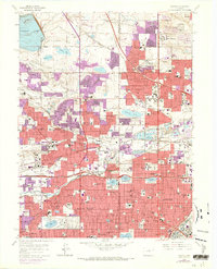
1965 Map of Arvada
USGS Topo · Published 1973About this map
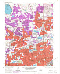
The growing northwestern suburbs of Denver are captured during a period of rapid mid-century expansion, as residential subdivisions push into former agricultural lands. Arvada and Wheat Ridge serve as central hubs, linked to the capital by the Valley Highway and the steel rails of the Colorado and Southern and Denver and Rio Grande Western railroads. This era is marked by the consolidation of community infrastructure, seen in the numerous schools like Arvada West High Sch and the State Home for Children (Ridge Home). The landscape is defined by its water management systems, including the Farmers Highline Canal and Croke Canal, which feed reservoirs such as Standley Lake. Large-scale institutional landmarks are prominent, from Regis College and Lutheran Hospital to the sprawling Mount Olivet Cemetery and the distinctive Tower of Memories at Crown Hill Cemetery.
Find a feature on this map
123 named features on this map. Tap any name to fly to it.
Don’t see what you’re looking for? This feature index may not catch every label — zoom into the map to look around manually.
Map Details
Editions of this 1965 Arvada Map
6 editions found
Other maps of this area

1890 · East Denver
USGS Topo · 1:125,000

1899 · West Denver
USGS Topo · 1:125,000

1935 · East Denver Nos. 3 and 4
USGS Topo · 1:48,000

1938 · Morrison
USGS Topo · 1:24,000

1938 · Derby
USGS Topo · 1:24,000

1939 · Golden
USGS Topo · 1:24,000

1940 · Englewood
USGS Topo · 1:31,680

1940 · Eastlake
USGS Topo · 1:31,680

1940 · Lafayette
USGS Topo · 1:31,680

1940 · Derby
USGS Topo · 1:31,680