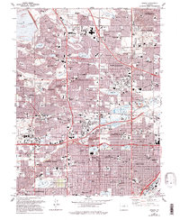
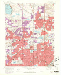
1965 Map of Arvada
USGS Topo · Published 1994About this map
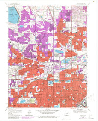
Arvada and its neighboring communities are shown during a period of significant suburban expansion northwest of Denver. The landscape is a dense network of residential subdivisions, golf courses like the Hyland Hills Golf Course and Indian Tree Golf Club, and dozens of local schools including Mandalay Middle Sch and Everitt Middle Sch. The area's water management is evident through numerous aqueducts and reservoirs, most notably Standley Lake and Lake Arbor, which reflect the region's managed transition from prairie to an integrated metropolitan hub.
Find a feature on this map
138 named features on this map. Tap any name to fly to it.
Don’t see what you’re looking for? This feature index may not catch every label — zoom into the map to look around manually.
Map Details
Editions of this 1965 Arvada Map
6 editions found
Other maps of this area

1890 · East Denver
USGS Topo · 1:125,000

1899 · West Denver
USGS Topo · 1:125,000

1935 · East Denver Nos. 3 and 4
USGS Topo · 1:48,000

1938 · Morrison
USGS Topo · 1:24,000

1938 · Derby
USGS Topo · 1:24,000

1939 · Golden
USGS Topo · 1:24,000

1940 · Englewood
USGS Topo · 1:31,680

1940 · Eastlake
USGS Topo · 1:31,680

1940 · Lafayette
USGS Topo · 1:31,680

1940 · Derby
USGS Topo · 1:31,680