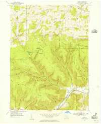
1954 Map of Asaph
USGS Topo · Published 1956About this map
Asaph sits at the confluence of several mountain runs and the larger Marsh Creek, anchoring a landscape defined by deep Pennsylvania hollows and high ridges during the mid-1950s. The local economy and infrastructure of the era are evident in the New York Central railroad line and the Roosevelt Highway tracing the valley floor. Unique industrial markers such as the Hessel Gesser Millstone and a mountain-top Quarry suggest a history of resource extraction and local craftsmanship. The surrounding highlands are monitored from the Baldwin Fire Tower and Goodall Fire Tower, while a network of specialized routes like the Forks Trail and Log Slide Road provide access to the timbered slopes of South Hill and Middle Ridge. This survey documents a transitional period when small settlements like Azelta and Little Marsh remained connected by post-war transit corridors before further modernization altered the rural character of Tioga County.
Find a feature on this map
73 named features on this map. Tap any name to fly to it.
Don’t see what you’re looking for? This feature index may not catch every label — zoom into the map to look around manually.
Map Details
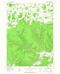
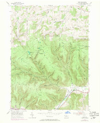
Editions of this 1954 Asaph Map
Other maps of this area

1899 · Gaines
USGS Topo · 1:62,500

1900 · Gaines
USGS Topo · 1:62,500

1900 · Elkland
USGS Topo · 1:62,500

1946 · Tiadaghton
USGS Topo · 1:24,000

1946 · Antrim
USGS Topo · 1:62,500

1946 · Antrim
USGS Topo · 1:24,000

1947 · Galeton
USGS Topo · 1:62,500

1947 · Marshlands
USGS Topo · 1:24,000

1948 · Antrim
USGS Topo · 1:24,000
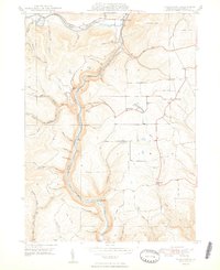
1948 · Tiadaghton
USGS Topo · 1:24,000
Featured Places
- Clymer Township, PA
- Gaines Township, PA
- Chatham Township, PA
- Delmar Township, PA
- Azelta, Clymer Township