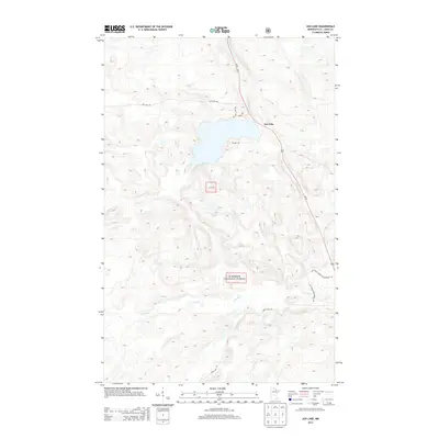
2013 Map of Ash Lake
USGS Topo · Published 2013About this map
Ash Lake and its surrounding wetlands form the center of this 2013 study in northern Saint Louis County. This landscape is defined by the managed woodlands of the Superior National Forest and the Snf, where the Ash River flows northward toward the Canadian border and the Lost River meanders through the southern half of the quadrangle. The map captures a transition in local infrastructure, showing the corridor of Us 53 as it bisects the forest, providing a modern contrast to the network of timber and access routes like Ash Lake Rd, Old Aspen Way, and the Lost River Forest Management Rd. These forest management roads and the inclusion of Town Line Rd reflect the dual identity of the region as both a protected wilderness and a functional timber resource area.
Find a feature on this map
12 named features on this map. Tap any name to fly to it.
Don’t see what you’re looking for? This feature index may not catch every label — zoom into the map to look around manually.
Map Details
Editions of this 2013 Ash Lake Map
This is the sole edition of this map. No revisions or reprints were ever made.
Other maps of this area

1954 · International Falls
USGS Topo · 1:250,000

1957 · International Falls
USGS Topo · 1:250,000

1958 · International Falls
USGS Topo · 1:250,000

1968 · Ash River SE
USGS Topo · 1:24,000

1968 · Ash Lake
USGS Topo · 1:24,000

1968 · Ash River SW
USGS Topo · 1:24,000
1968 · Orr NE
USGS Topo · 1:24,000

1968 · Orr SW
USGS Topo · 1:24,000
1968 · Orr
USGS Topo · 1:24,000

1969 · Ray SE
USGS Topo · 1:24,000