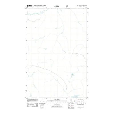
2011 Map of Ash River SE
USGS Topo · Published 2011About this map
Ash River winds through the northern reaches of this Saint Louis County landscape, a terrain defined by a complex network of waterways and forest access routes. This area of northern Minnesota is characterized by its hydrologic features, including the Black Duck River and Moose River, which feed into various small basins like Corner Lake and Chub Lake. The naming convention of Camp Ninty Creek and the associated Camp 90 For Rd suggests the historical presence of logging camps or forest management outposts. Transportation is limited to a series of designated forest roads, such as Forest Rd, which provide the primary access to these remote wetlands. Geologists and outdoorsmen can trace the drainage patterns of Ninemile Creek and Gannon Creek across this densely wooded environment as it appeared in the early 21st century.
Find a feature on this map
12 named features on this map. Tap any name to fly to it.
Don’t see what you’re looking for? This feature index may not catch every label — zoom into the map to look around manually.
Map Details
Editions of this 2011 Ash River SE Map
This is the sole edition of this map. No revisions or reprints were ever made.
Other maps of this area

1954 · International Falls
USGS Topo · 1:250,000

1957 · International Falls
USGS Topo · 1:250,000

1958 · International Falls
USGS Topo · 1:250,000

1967 · Namakan Island
USGS Topo · 1:24,000

1967 · Marion Lake
USGS Topo · 1:24,000

1967 · Elephant Lake
USGS Topo · 1:24,000

1968 · Daley Bay
USGS Topo · 1:24,000

1968 · Ash River SE
USGS Topo · 1:24,000

1968 · Ash Lake
USGS Topo · 1:24,000

1968 · Ash River NE
USGS Topo · 1:24,000