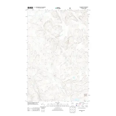
2013 Map of Ash River SE
USGS Topo · Published 2013About this map
Superior National Forest encompasses this wilderness landscape in Saint Louis County, characterized by a complex drainage system within the Arrowhead Region. The Ash River flows through the northern reaches, while the Black Duck River and several creeks define the southern terrain. This 2013 survey illustrates a territory primarily accessed by remote forest routes such as Forest Rd and Forest Rte 611, reflecting a land managed for conservation and timber. Smaller water bodies like Corner Lake and Chub Lake are set among the hills, connected by a network of seasonal streams including Ninemile Cr and Camp Ninety Cr. The lack of named settlements emphasizes the undeveloped nature of this portion of the forest during the early 21st century.
Find a feature on this map
12 named features on this map. Tap any name to fly to it.
Don’t see what you’re looking for? This feature index may not catch every label — zoom into the map to look around manually.
Map Details
Editions of this 2013 Ash River SE Map
This is the sole edition of this map. No revisions or reprints were ever made.
Other maps of this area

1954 · International Falls
USGS Topo · 1:250,000

1957 · International Falls
USGS Topo · 1:250,000

1958 · International Falls
USGS Topo · 1:250,000

1967 · Namakan Island
USGS Topo · 1:24,000

1967 · Marion Lake
USGS Topo · 1:24,000

1967 · Elephant Lake
USGS Topo · 1:24,000

1968 · Daley Bay
USGS Topo · 1:24,000

1968 · Ash River SE
USGS Topo · 1:24,000

1968 · Ash Lake
USGS Topo · 1:24,000

1968 · Ash River NE
USGS Topo · 1:24,000