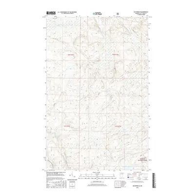
2016 Map of Ash River SE
USGS Topo · Published 2016About this map
The Superior National Forest dominates this landscape in Saint Louis County, characterized by a complex network of glacial waterways and timber access roads. The Ash River and Black Duck River serve as primary drainage for the region's vast wetlands, while smaller tributaries like Ninemile Cr, Gannon Cr, and Camp Ninety Cr carve through the northern woods. Local navigation relies on named arteries such as Bright Star Rd and Camp 90 Forest Rd, which support both the forestry industry and recreational access.
Find a feature on this map
18 named features on this map. Tap any name to fly to it.
Don’t see what you’re looking for? This feature index may not catch every label — zoom into the map to look around manually.
Map Details
Editions of this 2016 Ash River SE Map
This is the sole edition of this map. No revisions or reprints were ever made.
Other maps of this area

1954 · International Falls
USGS Topo · 1:250,000

1957 · International Falls
USGS Topo · 1:250,000

1958 · International Falls
USGS Topo · 1:250,000

1967 · Namakan Island
USGS Topo · 1:24,000

1967 · Marion Lake
USGS Topo · 1:24,000

1967 · Elephant Lake
USGS Topo · 1:24,000

1968 · Daley Bay
USGS Topo · 1:24,000

1968 · Ash River SE
USGS Topo · 1:24,000

1968 · Ash Lake
USGS Topo · 1:24,000

1968 · Ash River NE
USGS Topo · 1:24,000