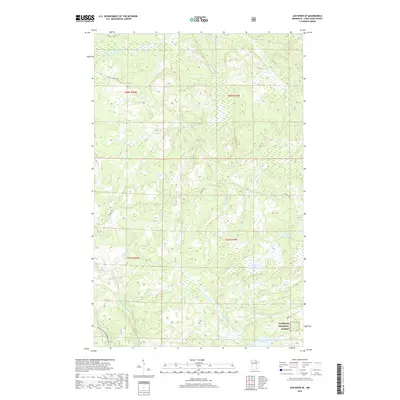
2019 Map of Ash River SE
USGS Topo · Published 2019About this map
The northern wilderness of Superior National Forest dominates this landscape in Saint Louis County, where a dense network of waterways defines the remote geography. The Ash River flows through the northern reaches, joined by smaller tributaries such as Camp Ninety Cr and Ganton Cr. These streams navigate a complex terrain of wetlands and dense forest cover, typical of the Minnesota arrowhead region.
Find a feature on this map
18 named features on this map. Tap any name to fly to it.
Don’t see what you’re looking for? This feature index may not catch every label — zoom into the map to look around manually.
Map Details
Editions of this 2019 Ash River SE Map
This is the sole edition of this map. No revisions or reprints were ever made.
Other maps of this area

1954 · International Falls
USGS Topo · 1:250,000

1957 · International Falls
USGS Topo · 1:250,000

1958 · International Falls
USGS Topo · 1:250,000

1967 · Namakan Island
USGS Topo · 1:24,000

1967 · Marion Lake
USGS Topo · 1:24,000

1967 · Elephant Lake
USGS Topo · 1:24,000

1968 · Daley Bay
USGS Topo · 1:24,000

1968 · Ash River SE
USGS Topo · 1:24,000

1968 · Ash Lake
USGS Topo · 1:24,000

1968 · Ash River NE
USGS Topo · 1:24,000