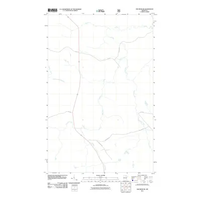
2011 Map of Ash River SW
USGS Topo · Published 2011About this map
The Ash River winds through this northern landscape, forming a complex drainage network alongside the Black Duck River and the East Branch Rat Root River. This 2011 survey by the U.S. Geological Survey captures a region defined by its waterway connectivity and a skeletal framework of forest and logging roads. The layout of transit corridors, such as Sheep Ranch Rd and Camp 90 For Rd, suggests a landscape primarily managed for timber or conservation rather than dense residential settlement. Smaller tributaries like Kinmount Creek and Fawn Creek feed the larger basins, while Leslie Rd and Forest Road 608 provide the primary overland access through this sparsely populated section of Saint Louis County.
Find a feature on this map
11 named features on this map. Tap any name to fly to it.
Don’t see what you’re looking for? This feature index may not catch every label — zoom into the map to look around manually.
Map Details
Editions of this 2011 Ash River SW Map
This is the sole edition of this map. No revisions or reprints were ever made.
Other maps of this area

1954 · International Falls
USGS Topo · 1:250,000

1957 · International Falls
USGS Topo · 1:250,000

1958 · International Falls
USGS Topo · 1:250,000

1968 · Daley Bay
USGS Topo · 1:24,000

1968 · Ash River SE
USGS Topo · 1:24,000

1968 · Ash Lake
USGS Topo · 1:24,000

1968 · Ash River NE
USGS Topo · 1:24,000

1968 · Ash River SW
USGS Topo · 1:24,000
1968 · Orr NE
USGS Topo · 1:24,000

1969 · Ray SE
USGS Topo · 1:24,000