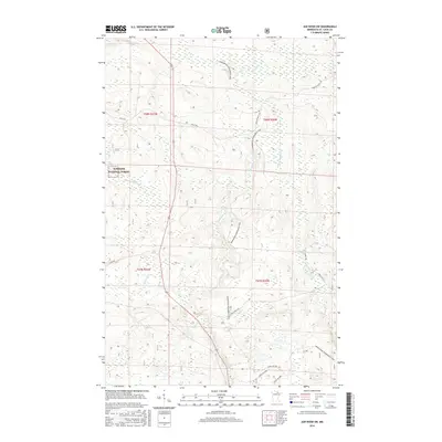
2016 Map of Ash River SW
USGS Topo · Published 2016About this map
Superior National Forest encompasses the vast majority of this landscape in Saint Louis County, a region defined by its complex drainage systems and dense timberlands. The Ash River and Black Duck River meander through the terrain, joined by smaller tributaries such as the E Br Rat Root River and Kinmount Cr. This 2016 survey illustrates a modern recreational and working forest, where traditional forest access roads like Leslie Rd and Sheep Ranch Rd intersect with the expansive Arrowhead Snowmobile Trail. The map provides a detailed look at the township and range boundaries, including t67n r20w and t68n r21w, which are essential for property research and identifying specific tracts of land within the National Forest boundary.
Find a feature on this map
18 named features on this map. Tap any name to fly to it.
Don’t see what you’re looking for? This feature index may not catch every label — zoom into the map to look around manually.
Map Details
Editions of this 2016 Ash River SW Map
This is the sole edition of this map. No revisions or reprints were ever made.
Other maps of this area

1954 · International Falls
USGS Topo · 1:250,000

1957 · International Falls
USGS Topo · 1:250,000

1958 · International Falls
USGS Topo · 1:250,000

1968 · Daley Bay
USGS Topo · 1:24,000

1968 · Ash River SE
USGS Topo · 1:24,000

1968 · Ash Lake
USGS Topo · 1:24,000

1968 · Ash River NE
USGS Topo · 1:24,000

1968 · Ash River SW
USGS Topo · 1:24,000
1968 · Orr NE
USGS Topo · 1:24,000

1969 · Ray SE
USGS Topo · 1:24,000