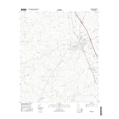
2017 Map of Ashburn
USGS Topo · Published 2017About this map
Ashburn and its neighboring community of Sycamore anchor this landscape, revealing a south Georgia hub defined by its transit corridors and agricultural roots. The map traces the path of the Little River as it winds through the western half of the territory, joined by tributaries such as Newell Br and Ashburn Br. Several family and community burying grounds, including Rose Hill Cem, Henderson Cem, and Summers Cem, are clearly marked, providing essential landmarks for genealogists and local historians.
Find a feature on this map
135 named features on this map. Tap any name to fly to it.
Don’t see what you’re looking for? This feature index may not catch every label — zoom into the map to look around manually.
Map Details
Editions of this 2017 Ashburn Map
This is the sole edition of this map. No revisions or reprints were ever made.
Other maps of this area

1953 · Waycross
USGS Topo · 1:250,000

1956 · Sylvester
USGS Topo · 1:62,500

1958 · Waycross
USGS Topo · 1:250,000

1972 · Cuffietown
USGS Topo · 1:24,000

1973 · Sumner
USGS Topo · 1:24,000

1973 · Sylvester
USGS Topo · 1:24,000

1973 · Ashburn
USGS Topo · 1:24,000

1973 · Chula
USGS Topo · 1:24,000

1973 · Bethel
USGS Topo · 1:24,000

1974 · Amboy
USGS Topo · 1:24,000