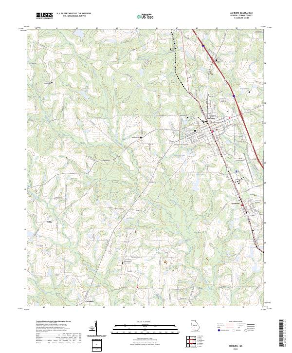
2024 Map of Ashburn
USGS Topo · Published 2024About this map
The Turner County Courthouse stands at the center of Ashburn, anchoring a grid that transitions from the town's core to the surrounding agricultural landscape. This modern survey illustrates how traditional South Georgia settlements like Sycamore and Coverdale are interconnected by a network of county roads and the E Railroad Ave corridor. The geography is defined by the Little River and its numerous tributaries, including Ashburn Branch and Newell Branch, which feed into local water bodies such as Betts Pond and Ward Pond North.
Find a feature on this map
144 named features on this map. Tap any name to fly to it.
Don’t see what you’re looking for? This feature index may not catch every label — zoom into the map to look around manually.
Map Details
Editions of this 2024 Ashburn Map
This is the sole edition of this map. No revisions or reprints were ever made.
Other maps of this area

1953 · Waycross
USGS Topo · 1:250,000

1956 · Sylvester
USGS Topo · 1:62,500

1958 · Waycross
USGS Topo · 1:250,000

1972 · Cuffietown
USGS Topo · 1:24,000

1973 · Sumner
USGS Topo · 1:24,000

1973 · Sylvester
USGS Topo · 1:24,000

1973 · Ashburn
USGS Topo · 1:24,000

1973 · Chula
USGS Topo · 1:24,000

1973 · Bethel
USGS Topo · 1:24,000

1974 · Amboy
USGS Topo · 1:24,000