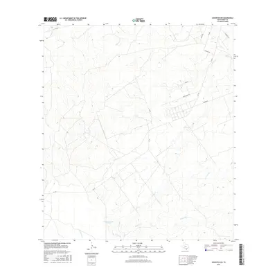
2016 Map of Asherton NW
USGS Topo · Published 2016About this map
Dolph Briscoe Lake Number 8 and a network of ephemeral waterways define this stretch of Dimmit County, where South Texas brush country meets an organized agricultural and ranching grid. The landscape is carved by numerous drainages, most notably Carrizo Cr and El Morito Cr, which wind through the low-lying terrain. The human presence is marked by a series of ranch roads and farm-to-market routes that service large landholdings. Local history is etched into the names of these thoroughfares, such as Barrier Farms Rd, Navarro Rd, and Risinger Rd, suggesting long-standing family associations with the land. Significant water management is evident in the northern reaches where Peñitas Cr and Peña Cr cross beneath FM 2644, illustrating the intersection of modern transit and the region's natural hydrology.
Find a feature on this map
17 named features on this map. Tap any name to fly to it.
Don’t see what you’re looking for? This feature index may not catch every label — zoom into the map to look around manually.
Map Details
Editions of this 2016 Asherton NW Map
This is the sole edition of this map. No revisions or reprints were ever made.
Other maps of this area

1929 · Cotulla
USGS Topo · 1:125,000

1939 · Carrizo Springs
USGS Topo · 1:62,500

1940 · Asherton
USGS Topo · 1:62,500

1940 · Cometa
USGS Topo · 1:62,500

1941 · Botella Creek
USGS Topo · 1:62,500

1953 · Crystal City
USGS Topo · 1:250,000

1955 · Crystal City
USGS Topo · 1:250,000

1957 · Botella Creek
USGS Topo · 1:62,500

1958 · Eagle Pass
USGS Topo · 1:250,000

1961 · Crystal City
USGS Topo · 1:250,000